News
The latest news and press releases from Ordnance Survey
Filters (1)
Page 1
Ordnance Survey launches national survey of geography teachers
Ordnance Survey (OS) has launched a national survey of thousands of geography teachers to better understand how mapping is taught in the classroom.
- News
Ordnance Survey launches significant buildings and transport enhancements
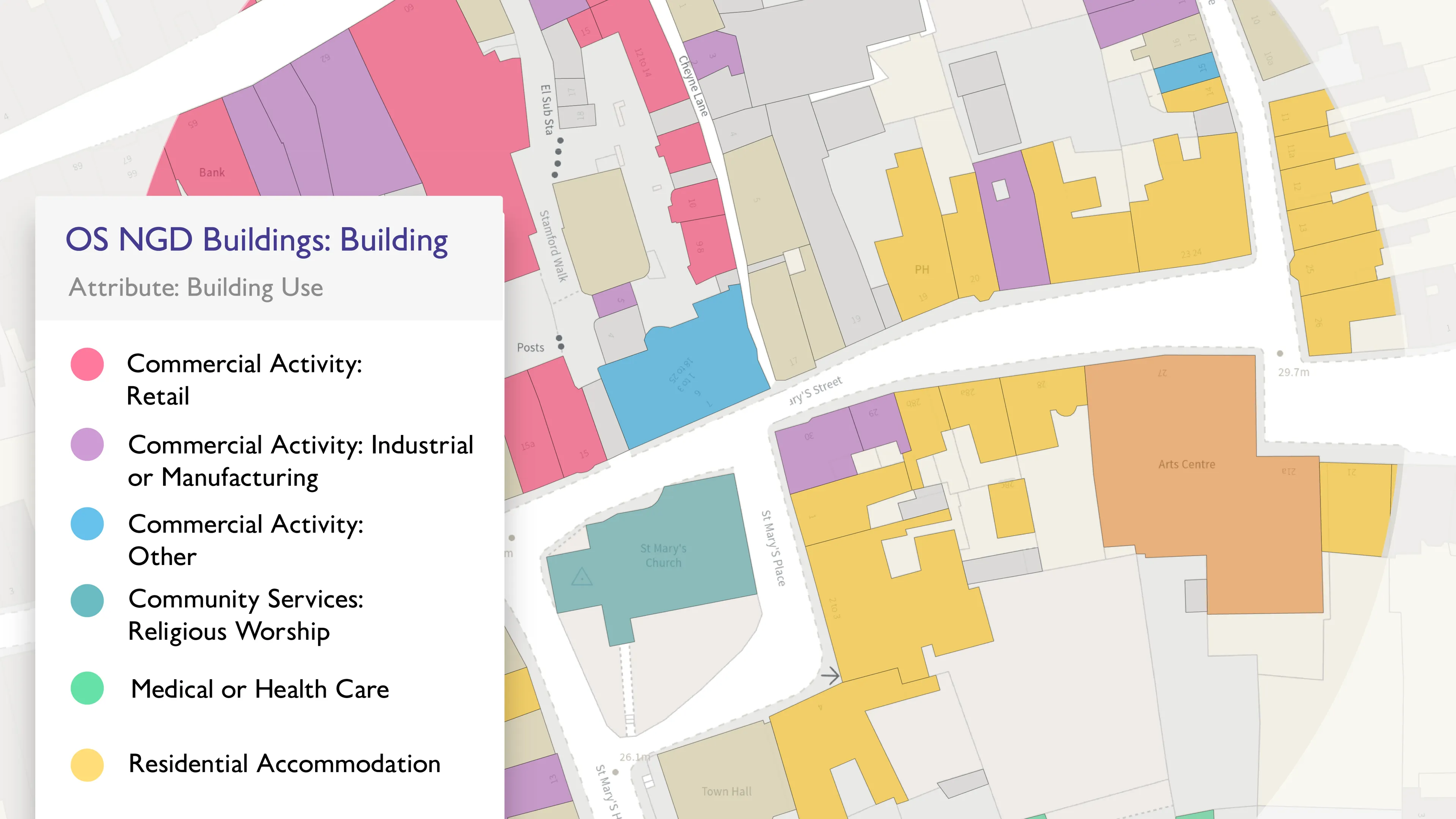
Ordnance Survey has launched new data enhancements in the OS NGD. These cover transport - railway and path network - and buildings.
- News
New head of Geovation
Gareth Sumner is the new head of Geovation – a community of innovators and collaborators who use location data to create solutions that address global challenges.
- News
Ambulances set to benefit from new in-cab mapping technology
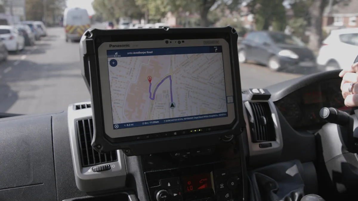
A new life-saving in-cab navigation application, underpinned by Ordnance Survey mapping, is being rolled out across all Ambulance Trusts in Great Britain.
- News
Get ready, get set, get outside...
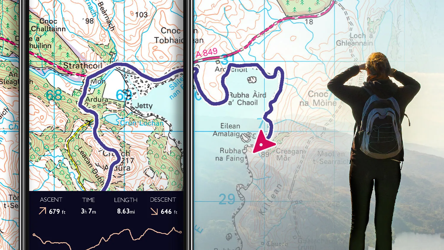
Following user feedback, OS Maps has been updated to expand the service of one of its most popular features – Snap-to-path.
- News
British Cycling and Ordnance Survey team up to share cycling routes in the West Midlands
British Cycling and Ordnance Survey team up to share cycling routes in the West Midlands.
- News
Ordnance Survey add scents of Britain to personalised maps
OS announces an exciting new feature for OS Explorer and OS Landranger personalised maps. Customers will be able to add scents of Britain to custom made paper maps.
- News
Speed Data added to the OS National Geographic Database
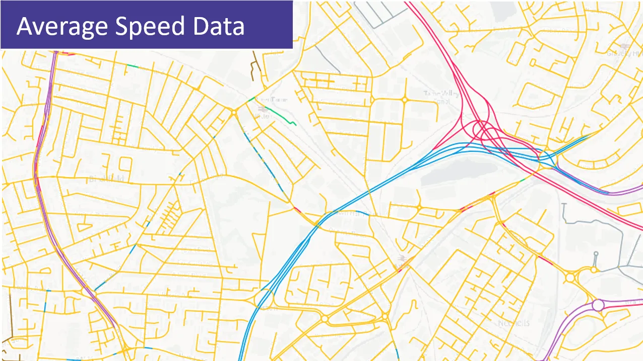
Public Sector users of OS data now have free access to comprehensive speed data for Britain's road networks.
- News
Ordnance Survey announces biggest digital transformation in over a decade
Ordnance Survey is providing faster and easier access to location data for customers across the public and private sectors.
- News