2023 Predictions - How location data can accelerate the transition to a sustainable transport system
Accurate location data has become a crucial asset for the transport industry and supports many areas from planning road networks and routing, identifying roads that require funding, and supporting emerging areas from connected autonomous vehicles (CAV) to the roll out of electric vehicle (EV) infrastructures.
To support the government’s net zero strategy, significant investment in the EV charging infrastructure is required and OS data can help identify charging locations and where investment is focussed. Which is key if governments, local authorities, and businesses are to meet their ambitious targets and address public hesitation about the convenience and affordability of transitioning to electric vehicles.
What do I think is going to be new in 2023?
The rate at which data is consumed is increasing, as is the need for trusted and good quality data. Accurate geospatial data is central to our products and services and through the Public Sector Geospatial Agreement (PSGA), we provide access to our data and the know-how to local governments, road maintenance companies and even 999 services who all need location data to better connect, gain insight and drive efficiencies. Covid-19 very much put a spotlight on trusted and accurate location data, and we expect that trend to continue over the next 12 months. But this needs to be married up with better sharing of data and continuing to foster the necessary expertise and tooling to enable linking of data sources that will encourage innovation and move away from solo entities storing and holding onto valuable data.
EVs are becoming more affordable, which in turn will drive adoption, so we should see an acceleration in the shift towards clean and low emission road transport. For this reason, OS has joined the UK’s Intelligent Transport Systems Industry Association (ITS) which aims to promote economic efficiency, transport safety and environmental benefits. Not only does our geospatial data underpin today’s transport requirements, but it is also being used to develop sustainable alternatives including EV and CAV solutions.
OS is also part of a leading transport technology experts calling for wider recognition of the need for Digital Local Roads, a new concept which encourages the use of information technology, data and connectivity to the way all roads are designed, built, managed, and used. The case for Digital Local Roads is growing because of unprecedented challenges in the transport industry caused by climate change, budgetary pressures, and the pace of technological development.
These benefits are aided by trusted location data such as UPRNs and USRNs, unique IDs which can underpin referencing systems and provide an authoritative picture of our highways and roads. Improved data management and a trusted data ecosystem of organisations that collects, analyses and stores data, linked via these IDs, will therefore enable better decision making and provide a better road experience for all.
What's going to take off in 2023?
The government has stated that sales of new petrol and diesel cars will end in the UK by 2030. To support that ambitious target there will be a significant change in EV infrastructure and investment. Good quality location data is essential with the challenge around where to put the infrastructure and how motorists can find charging points, as highlighted in a new report published by the Geospatial Commission.
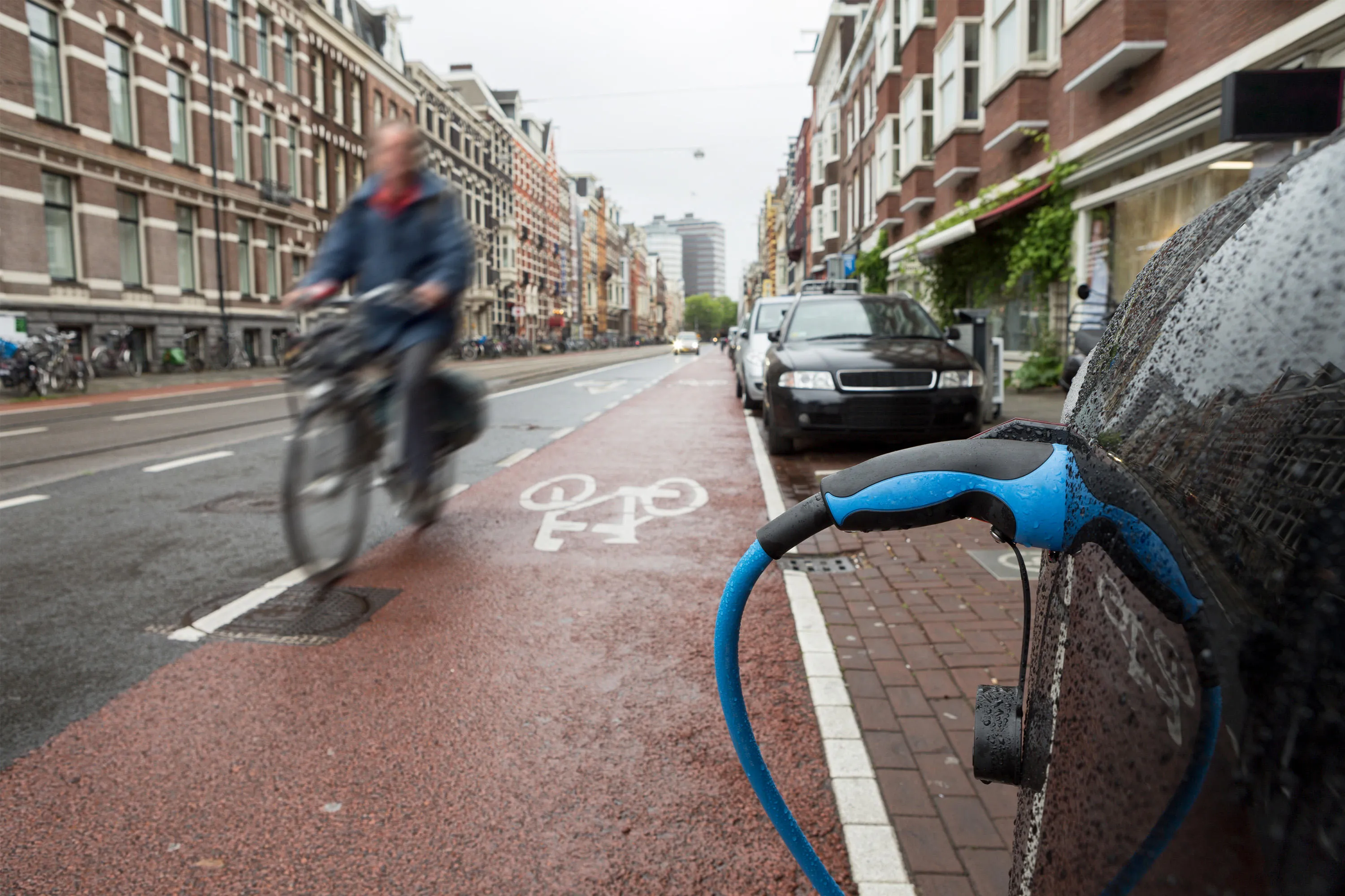
I hope that 2023 will bring greater collaboration between the various stakeholders, otherwise we run the risk of ending up with an uneven distribution of EV infrastructure (the “not spots” for charging) which we should not tolerate as a society as it would significantly disadvantage the already vulnerable communities. Collectively the government and the commercial sector need to look at incentives to providing the infrastructure for people without access to off-street parking, which is currently around 40% of car owners, and faster charging on the move for longer journeys.
It’s great to see how one of our partners, Field Dynamics, are already creating solutions to help overcome some of the key planning barriers standing in the way of mass EV adoption. Combining geospatial data from different sources will help to establish the optimal national infrastructure with datasets that provide deeper contextual information around potential charging sites, from environmental impact to accessibility, potential energy demand and projected frequency of use. Increased energy infrastructure will also be essential for supporting EV infrastructure and powering the transition to a greener future.
What would you like to change in 2023?
With the current climate crisis, every effort needs to be made to look at a net zero future and policymakers need to ensure there is a clear focus on cleaner vehicles. There is much debate around whether companies upgrading to EV fleets will negatively impact the level of investment in AV fleets. That would be a missed opportunity as AVs and self-driving automotive technologies are as vital to solving future challenges as EV, and we need to ensure it remains a priority with government.
OS data is already supporting government projects designed to shape a national infrastructure capable of supporting the nation-wide deployment of Connected and Autonomous Vehicles (CAVs). Projects such as the ECAVE and MODDEST, both funded by the Government's Centre for Connected Autonomous Vehicles (CCAV) have demonstrated the roll out of location data is vital to ensuring the safe operation of CAVs. From following the appropriate speed restrictions, distinguishing between the different types of roads, to adopting a safe speed during certain weather conditions i.e. rain, fog or snow, all of which relies upon location data and the street and road characteristics that are likely to be needed for future regulations.
Looking ahead, it’s an exciting time but there is still so much that needs to be done at the fundamental level; supporting local authorities and planners rethink how urban and rural spaces will shape and be shaped by the infrastructure required for EVs and AVs. There is also work to be done in terms of data provision and standards, for example with governing how to broadcast this data to the relevant nearby vehicles.
To achieve the CAV ambition, geospatial data is key. Not just for the creation of a realistic simulation environment to test in, but to support the deployment of the new infrastructure to enable improved connectivity and mobility. But all this starts with ensuring we have a data infrastructure in place, and we need to put our foot on the gas to get there.
Head of Propositions