Discover how Ordnance Survey data is driving more efficient decisions in organisations like yours.
Case Studies
Filters (1)
Showing 9 results
Page 1

Improved efficiency with new land information system in Anguilla
The Department of Lands and Surveys (DLS) operates a registered land administration system for the Caribbean island of Anguilla.
The DLS places a huge emphasis on both accuracy and efficiency, making sure its stakeholders have complete confidence and satisfaction – a process with loc...

Assessing geospatial readiness in Dubai: The happiest city on Earth
Dubai Municipality is responsible for helping realise the Dubai government vision, ‘to make Dubai the happiest city on Earth’.
Its focus is on areas such as urban planning, safety and security, sustainable development and environmental protection – all of which rely on ge...

Creating a large-scale base map to underpin a national data model
The Government of Malta sees authoritative, quality-assured geospatial data as a vital component of a modern nation’s infrastructure, enabling effective policy-making, economic growth and the creation of sustainable and safe living communities for citizens. As a result, Malta has seen a sig...

Empowering Guyana’s national mapping agency
Guyana Lands and Survey Commission (GLSC) is the key agency for surveying and administrating the lands of Guyana. Ordnance Survey (OS) worked with the GLSC to update their geodetic infrastructure and support the building of key capabilities for the effective use, maintenance and expansion of the...

Location-based data provides a mine of information for Ethiopia
Ethiopia is a country looking to expand and maximise its land use with potential to tap further into its extraction industry (mining metals, minerals and aggregates) to support economic growth.

Ordnance Survey helping Dubai become the world's smartest city
Developing a smart solutions strategy for Dubai through the effective use of geospatial information and technologies.
Dubai aspires to be the happiest place in the world, through being the smartest city in the world. Ordnance Survey (OS) helped to develop a strategy showing how to create w...

OS developing a 3D data model in Singapore
Supporting the development of a 3D model of Singapore with OS location expertise.
GovTech wanted to better understand and assess CityGML as a 3D information model to represent different city themes. It turned to Ordnance Survey (OS) for expert advice on creating data specifications, and a...

Supporting public service with geospatial data in Tanzania and Zanzibar
Collaborating with the World Bank, Ordnance Survey (OS) provided practical geospatial training and an assessment of spatial data infrastructure policy in mainland Tanzania and Zanzibar.
This work has provided crucial skills development in the areas of data collection and management for var...
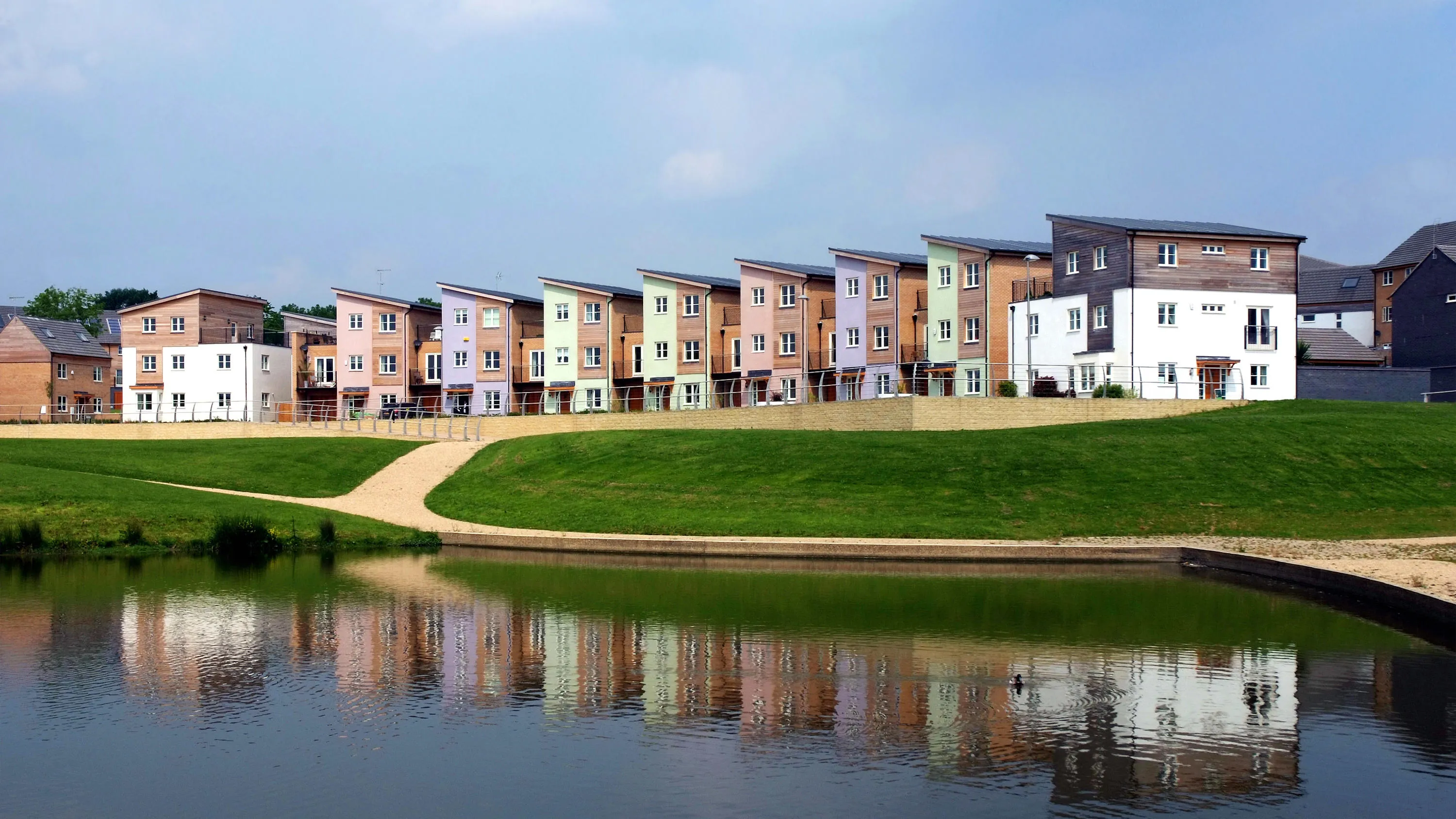
OS finding smarter energy solutions for Milton Keynes
Supporting local economic growth in Milton Keynes with geospatial data.
Ordnance Survey (OS) provides geospatial datasets to help the MK:Smart Future Cities project in Milton Keynes.
MK:Smart Future Cities project (MK:Smart) is a large collaborative initiative, partly funded by HEFC...
You have viewed 9 of 9 case studies