Discover how Ordnance Survey data is driving more efficient decisions in organisations like yours.
Case Studies
Filters (1)
Showing 15 results
Page 1
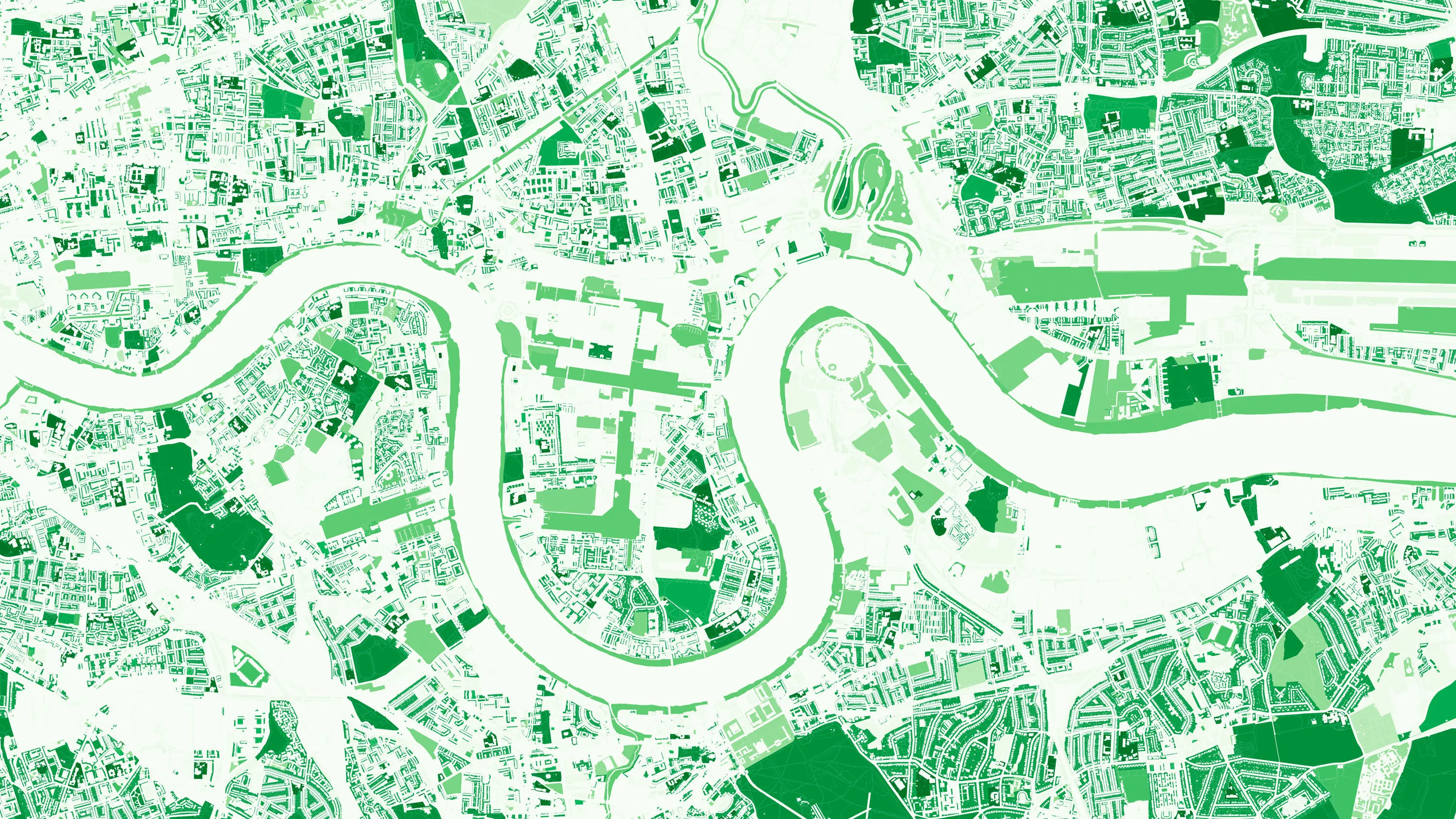
How location data helped the Department for Levelling Up Housing and Communities create new urban green spaces
The importance of access to green outdoor spaces in relation to health and wellbeing is clear. However, deprived areas are less likely to have access to green space and gardens.
In 2021 the Government allocated £9 million of funding to a ‘Levelling Up Parks Fund’ to help...

Using the OS Downloads API to save time and improve awareness of OS data
Like many Local Authorities, Doncaster Council relies on a wealth of open and premium OS data to help deliver statutory and non-statutory services, including Strategic Asset Management, drainage, and Street Scene.

Zoopla & the UPRN
As a key player in the property sector, Zoopla are invested in discovering and implementing new ways of improving their data quality; anything which might help reduce fall-throughs, speed up conveyancing, smooth the sales processes, and ultimately, optimise their services.

Plotting the possibilities, with Plot Map
PropertyData empowers property investors, developers, and agents to make data-driven decisions with ease, at low cost. Plot Map, PropertyData’s high-resolution map of target developments (including everything from buildings and boundaries, to planning applications and land values) gives cus...

HM Land Registry base title plans on Ordnance Survey data
HM Land Registry safeguards land and property ownership valued at £7 trillion. The Land Register contains more than 25 million titles, showing evidence of ownership for more than 87% of the land mass of England and Wales.
Ordnance Survey’s large-scale data is vital to the land...

Namibia accelerates sustainable economic growth through improved land management
Namibia is seeking to accelerate sustainable economic growth across the nation by strengthening the way it manages land administration – including land and property usage, title transactions and registration.
The Ministry of Land Reform (MLR) has secured World Bank funding to help mo...

Creating a large-scale base map to underpin a national data model
The Government of Malta sees authoritative, quality-assured geospatial data as a vital component of a modern nation’s infrastructure, enabling effective policy-making, economic growth and the creation of sustainable and safe living communities for citizens. As a result, Malta has seen a sig...

Saving time, money and resources with online planning help
Read how OS geospatial data helped North Somerset Council save both time and money by making it easier for people to submit valid planning applications.

Empowering Guyana’s national mapping agency
Guyana Lands and Survey Commission (GLSC) is the key agency for surveying and administrating the lands of Guyana. Ordnance Survey (OS) worked with the GLSC to update their geodetic infrastructure and support the building of key capabilities for the effective use, maintenance and expansion of the...
You have viewed 9 of 15 case studies