Discover how Ordnance Survey data is driving more efficient decisions in organisations like yours.
Case Studies
Filters (1)
Showing 27 results
Page 1

National Highways making road journeys safer
National Highways are the government appointed authority responsible for operating, maintaining, and improving England’s motorways and major A roads – totalling 4,300 miles of Strategic Road Network (SRN).
The RedLine Operational Boundary that surrounds England’s Strategi...
Proactive customer service with quality addressing data
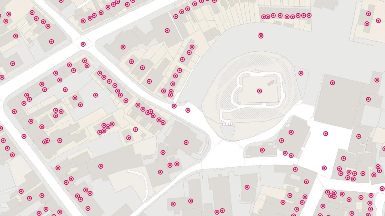
Ordnance Survey helped to enable a master source of address information to be collated into a central hub that Scottish Water, their partners, and agencies, can use to seamlessly manage the lifecycle of an address.

Using the OS Downloads API to save time and improve awareness of OS data
Like many Local Authorities, Doncaster Council relies on a wealth of open and premium OS data to help deliver statutory and non-statutory services, including Strategic Asset Management, drainage, and Street Scene.

Plotting the possibilities, with Plot Map
PropertyData empowers property investors, developers, and agents to make data-driven decisions with ease, at low cost. Plot Map, PropertyData’s high-resolution map of target developments (including everything from buildings and boundaries, to planning applications and land values) gives cus...

Improved efficiency with new land information system in Anguilla
The Department of Lands and Surveys (DLS) operates a registered land administration system for the Caribbean island of Anguilla.
The DLS places a huge emphasis on both accuracy and efficiency, making sure its stakeholders have complete confidence and satisfaction – a process with loc...

Department for Transport informing electric vehicle infrastructure planning
The Office for Zero Emission Vehicles (OZEV) with the Environment Statistics (ES) team at the Department for Transport (DfT) are currently planning the future provision across the UK of electric vehicle (EV) charge points, as part of the commitment by Government to reduce emissions by 2050.
Active Streets tool helps local authorities locate safer walking and cycling spaces
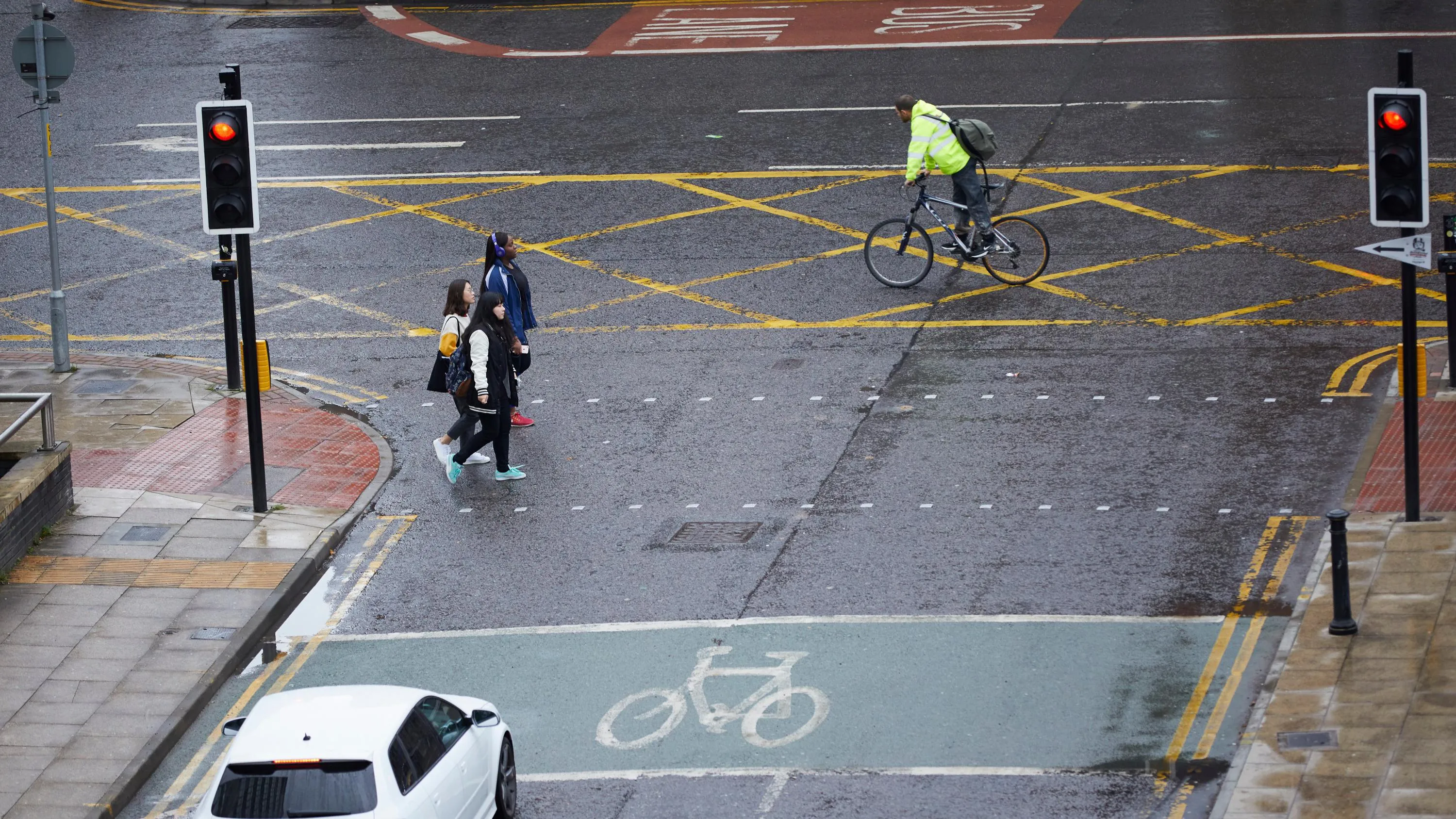
In response to the government’s Emergency Active Travel Fund (EATF), OS Partner, Road Safety Analysis and the Agilysis team used OS MasterMap Highways combined with their own data, to create a tool enabling local authorities to assess their active travel network.
The EATF is providin...

Supporting digital transport services
To support the future of mobility, Ordnance Survey, Department for Transport (DfT) and GeoPlace have been working to make road data available and easier to work with. Vehicles are becoming more connected thanks to internet technology, this is driving the next wave of mobility innovations from mic...
Northern Gas Networks increases efficiencies through business process automation
Northern Gas Networks (NGN) is the gas distributor for the North of England, supplying 2.7 million homes and businesses. Geospatial solutions are fundamental to NGN’s daily operations, including representing the accurate positions of assets – data that is vital for emergency response,...
You have viewed 9 of 27 case studies