Discover how Ordnance Survey data is driving more efficient decisions in organisations like yours.
Case Studies
Filters (1)
Showing 12 results
Page 1
Mapping at the Met Police
The Metropolitan Police is the UK’s largest police force. It polices 620 square miles and serves more than eight million people across one of the world’s most dynamic and diverse cities.
Part of its mission is to seize the opportunities of data and digital technology. To help a...
How the British Army use mapping APIs for battlefield training
The British Army is using Ordnance Survey mapping data to create training scenarios, and provide soldiers with accurate and realistic experiences.
How mapping supports police work
Discover how Cleveland Police deals with geographic issues and understands its communities better, by using Ordnance Survey location data to meet challenges and respond to emerging issues.

Identifying and tackling crime hotspots with location intelligence
The first duty of the government is to keep citizens safe and the country secure.
Working with 29 separate agencies and public bodies including the Police Advisory Board for England and Wales, the Security Service, the Advisory Council on the Misuse of Drugs, Gangmasters and Labour Abuse A...
Unlocking vital insight in less time
Following the tragic Grenfell Tower disaster, the Government led a programme of work delivered by Fire and Rescue Services across the country; to make high-rise residential buildings safer, and provide a better understanding of high-rise residential buildings.

London Ambulance Service NHS Trust uses OS Places API for out of area look ups
London Ambulance use AddressBase Premium data to locate addresses when responding to 999 calls. When an address is provided to the call handler, they can verify the address using AddressBase Premium, which also provides the grid reference. The grid reference and the address enable the a...
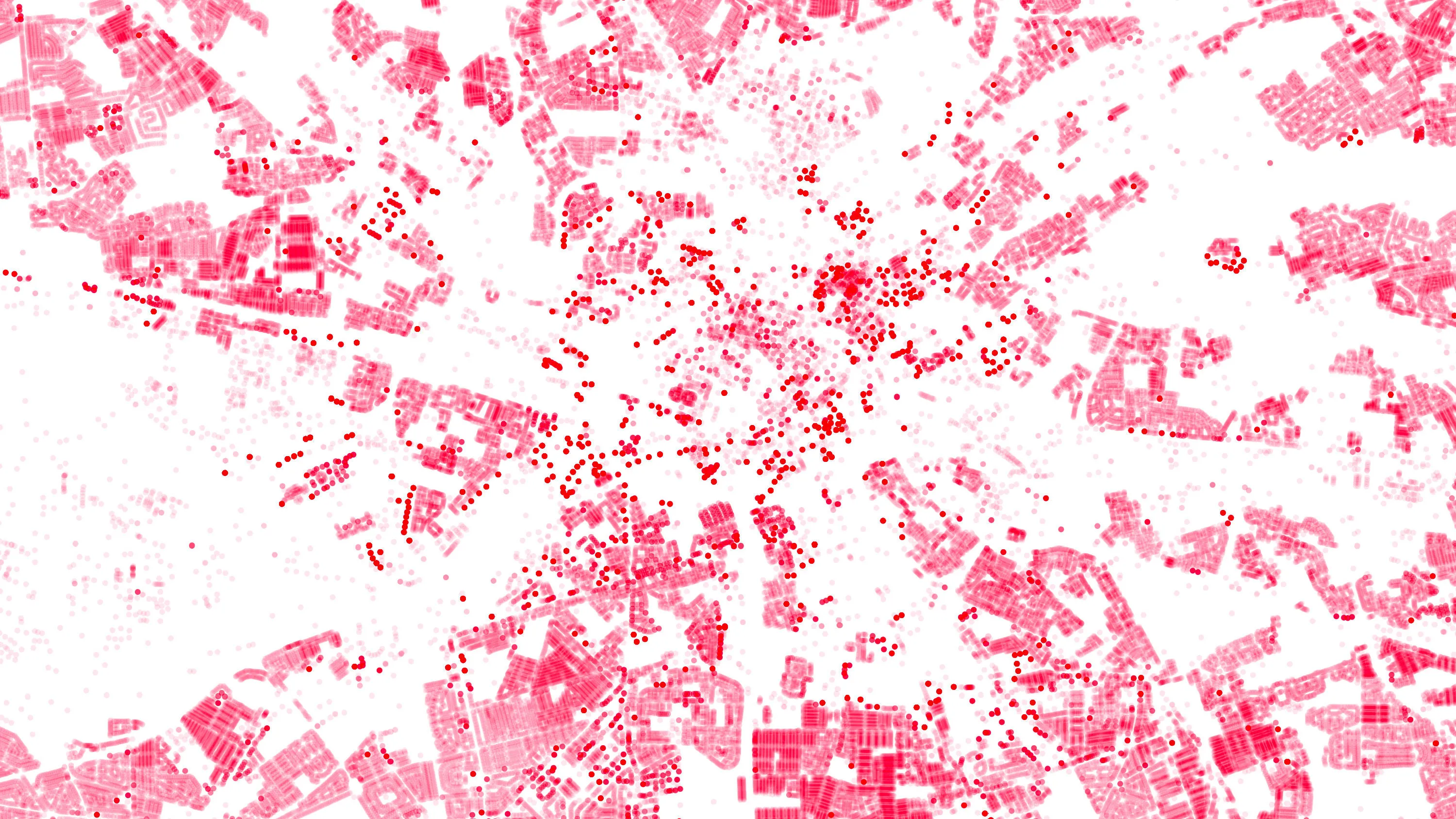
OS Data Hub used by Balkerne to offer risk intelligence platform
Balkerne has built a real-time risk intelligence platform to predict, prevent, and detect damage to property. Their digital platform, SmartResilience, integrates data using 35 different sources including location data from the OS Data Hub.

Improving map generalisation ready for the 2016 Brazilian Olympics
The Brazilian Army used improved map generalisation to prepare for the 2016 Olympics.
For over 100 years, the Brazilian Army Geographic Service (DSG) has produced topographic maps of its entire national territory.
The need to adapt this map production system to incorporate small and...

ESRI UK mapping app protects York from floods
York City Council’s flood team can now easily record, share and visualise gully information on any hand-held device, thanks to an ESRI UK app and detailed Ordnance Survey (OS) mapping. This case study explains how it was done.
You have viewed 9 of 12 case studies