Discover how Ordnance Survey data is driving more efficient decisions in organisations like yours.
Case Studies
Filters (1)
Showing 18 results
Page 1

OS data enables McQueens Dairies to identify efficiencies
McQueens Dairies is a third-generation family firm that provide doorstep milk delivery. Established in 1995, they started with a single milk round in St Andrews, Scotland. Fast forward 28 years and they deliver to thousands of households throughout the UK.
Increasing efficiency in business...

DECC predict smart meter network coverage
This case study describes how Department of Energy and Climate Change (DECC) worked with Ordnance Survey (OS) as part of its Smart Meter 868MHz HAN trial to predict the number of premises at which a 868MHz HAN solution would work.
Through this OS supplied a tabular, spatially-derived datas...

Greener travel? e-scooters
Transport for London (TfL) have experimented with an e-scooter rental trial, to better understand the environmental outcomes of alternative transport.
Data was collected to assess the results of the trial and help inform future policy.
Addresscloud use OS OpenData to introduce kerbside location accuracy
OS Partner Addresscloud provides software services to geocode and describe addresses with rooftop accuracy.
Addresscloud use data from Ordnance Survey’s AddressBase, Royal Mail (PAF), Eircode and Google Maps, to provide local intelligence for property level risk assessment, and suppo...
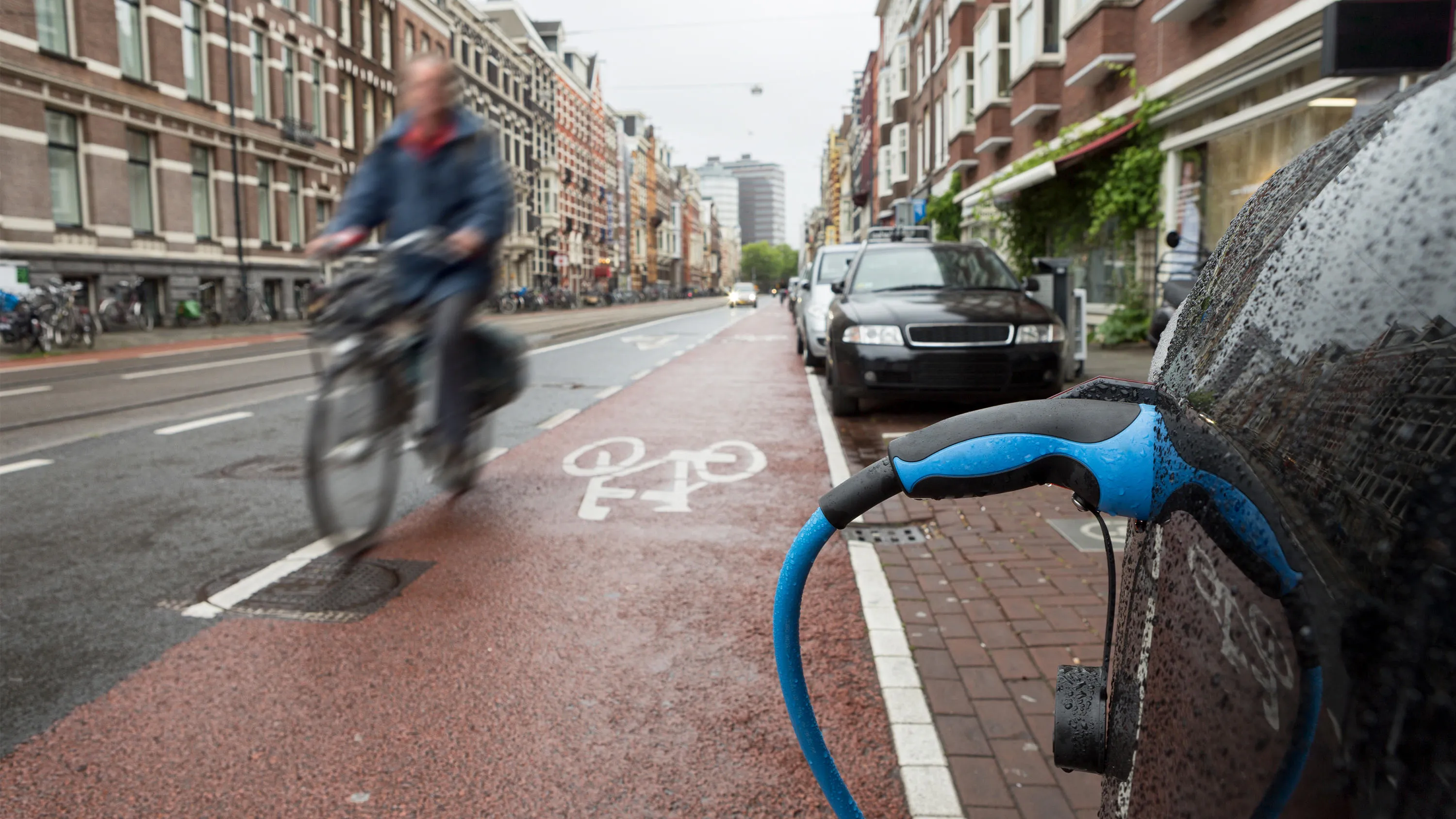
Department for Transport informing electric vehicle infrastructure planning
The Office for Zero Emission Vehicles (OZEV) with the Environment Statistics (ES) team at the Department for Transport (DfT) are currently planning the future provision across the UK of electric vehicle (EV) charge points, as part of the commitment by Government to reduce emissions by 2050.

Supporting digital transport services
To support the future of mobility, Ordnance Survey, Department for Transport (DfT) and GeoPlace have been working to make road data available and easier to work with. Vehicles are becoming more connected thanks to internet technology, this is driving the next wave of mobility innovations from mic...

Cross-referencing data so NHS Lothian can care for COVID-19 shielding patients
NHS Lothian delivers care for patients who’ve had kidney transplants or have chronic kidney disease. At the start of Britain’s COVID-19 measures, OS used its Points of Interest and OS Highways data to help identify safe and accessible locations for a mobile team to...

Faster, better internet
The communication services many of us enjoy and rely on – from television and radio, to mobile and internet – are regulated by Ofcom.
Location data gives Ofcom an accurate picture of where people are, and what services are available in different parts of the UK – to help...

Faster insight – accessing local data on a national scale
To get a snapshot of the physical landscape requires a lot of data. Information about our urban and natural features, relies on data local authorities generate, which is used for decisions in planning, housing, environmental protections and much more.
All of this local data when combined,...
You have viewed 9 of 18 case studies