Discover how Ordnance Survey data is driving more efficient decisions in organisations like yours.
Case Studies
Filters (1)
Showing 14 results
Page 1
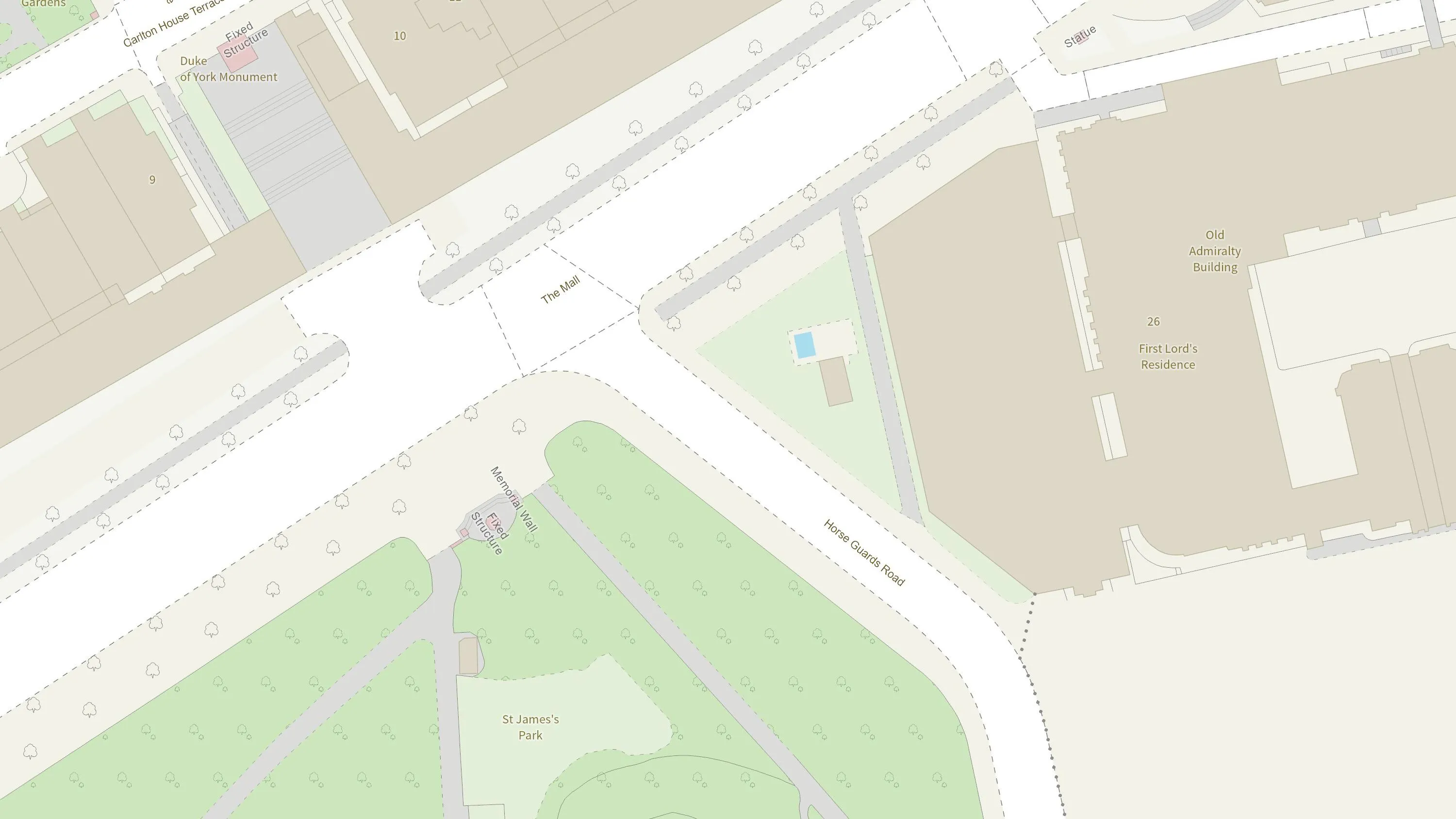
How the British Army use mapping APIs for battlefield training
The British Army is using Ordnance Survey mapping data to create training scenarios, and provide soldiers with accurate and realistic experiences.

Plotting the possibilities, with Plot Map
PropertyData empowers property investors, developers, and agents to make data-driven decisions with ease, at low cost. Plot Map, PropertyData’s high-resolution map of target developments (including everything from buildings and boundaries, to planning applications and land values) gives cus...

AFD Software’s Geolocation functionality used by Paultons Park
Paultons Park is the UK’s number 1 theme park in 2020 according to TripAdvisor, and has been for five years running. As the Home of Peppa Pig World and over 70 rides and attractions in the New Forest National Park, it receives 1 million people each year.

Supporting innovation with geospatial data
Since the turn of the millennium Ordnance Survey recognised that almost all new and emerging technologies, and the products and services derived from these, require location data to function at their best. Ordnance Survey also recognised that the data our customers needed, and how and when they w...

Assessing geospatial readiness in Dubai: The happiest city on Earth
Dubai Municipality is responsible for helping realise the Dubai government vision, ‘to make Dubai the happiest city on Earth’.
Its focus is on areas such as urban planning, safety and security, sustainable development and environmental protection – all of which rely on ge...

Aviva harnesses the power of geospatial intelligence
Aviva has been using OS data from the very beginning of their involvement with Geographical Information Systems (GIS) and geospatial data.
Their commercial property underwriters use OS datasets to assess risk and manage accumulation. Their dedicated GIS team use their desktop GI systems (E...

Monitoring UAE natural environments with Earth Observation data
Dubai is a rapidly developing city. This growth has had a big impact on the natural environment, natural resources and native habitats.
Satellite Earth Observation (EO) data has long been an important source of information for measuring and monitoring how the environment is changing. Howev...

Ordnance Survey helping Dubai become the world's smartest city
Developing a smart solutions strategy for Dubai through the effective use of geospatial information and technologies.
Dubai aspires to be the happiest place in the world, through being the smartest city in the world. Ordnance Survey (OS) helped to develop a strategy showing how to create w...

OS assessing geospatial readiness in Oman
Oman’s National Survey Authority (NSA) conducted a modernisation programme to better use geospatial information to underpin decision making.
Ordnance Survey (OS) undertook a Geospatial Readiness Assessment to establish the readiness of NSA against key geospatial and operational crite...
You have viewed 9 of 14 case studies