Discover how Ordnance Survey data is driving more efficient decisions in organisations like yours.
Case Studies
Filters (1)
Showing 12 results
Page 1
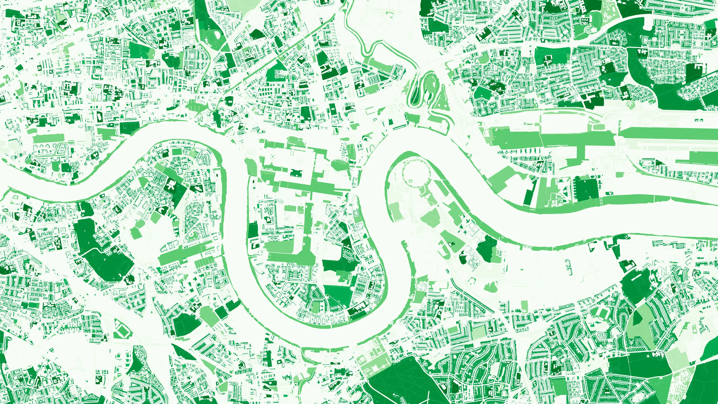
How location data helped the Department for Levelling Up Housing and Communities create new urban green spaces
The importance of access to green outdoor spaces in relation to health and wellbeing is clear. However, deprived areas are less likely to have access to green space and gardens.
In 2021 the Government allocated £9 million of funding to a ‘Levelling Up Parks Fund’ to help...

Using the OS Downloads API to save time and improve awareness of OS data
Like many Local Authorities, Doncaster Council relies on a wealth of open and premium OS data to help deliver statutory and non-statutory services, including Strategic Asset Management, drainage, and Street Scene.

Faster insight – accessing local data on a national scale
To get a snapshot of the physical landscape requires a lot of data. Information about our urban and natural features, relies on data local authorities generate, which is used for decisions in planning, housing, environmental protections and much more.
All of this local data when combined,...

Saving time, money and resources with online planning help
Read how OS geospatial data helped North Somerset Council save both time and money by making it easier for people to submit valid planning applications.

£200,000+ savings for garden waste collection in Northumberland
OS worked with Northumberland County Council to help them increase rates of recycling and reduce the amount of waste sent to landfill.

ESRI UK mapping app protects York from floods
York City Council’s flood team can now easily record, share and visualise gully information on any hand-held device, thanks to an ESRI UK app and detailed Ordnance Survey (OS) mapping. This case study explains how it was done.
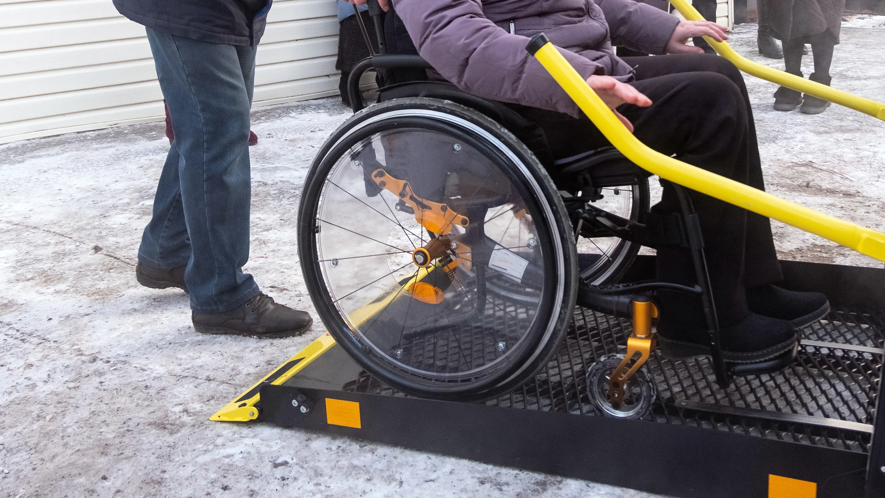
OS data contributing to improved special needs transport
Harrow Council’s Route Optimisation Project aims to use Ordnance Survey (OS) data to drive efficiencies while enhancing local services.
In partnership with Capita, Harrow Council’s latest ‘Route Optimisation Project’ aims to deliver improved Special Needs Transport...

OS helps introduce 20mph speed limit in Edinburgh
Cutting speed limits in urban areas reduces the risk of road deaths. It also improves pedestrian safety and encourages drivers to choose other travel options.
In this case study we’ll see how Edinburgh Council used Ordnance Survey (OS) mapping data to help build the case for a 20mph...

OS pioneers smarter CCTV for Salford
Providing Ordnance Survey (OS) spatial intelligence for smarter surveillance in cities.
This case study looks at how support and data from OS helped to reduce crime, support local authorities and create much safer, more connected, smart cities in the City of Salford in Greater Manchester....
You have viewed 9 of 12 case studies