Discover how Ordnance Survey data is driving more efficient decisions in organisations like yours.
Case Studies
Filters (1)
Showing 6 results
Page 1
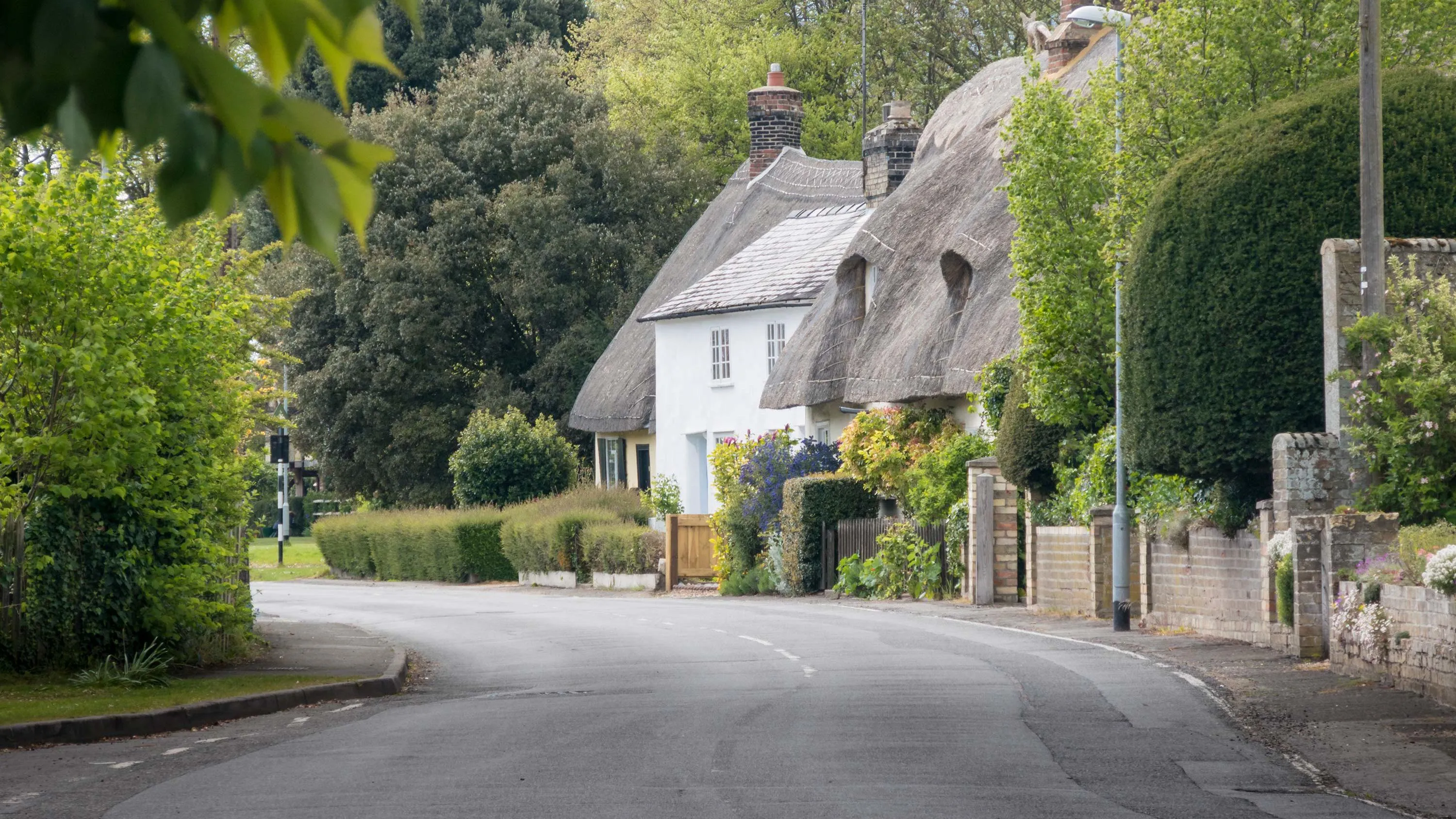
How councils can make the most of their access to OS mapping
From fundraising for more greenspace, to underpinning neighbourhood planning, to creating a public art trail, Histon and Impington Parish Council show how councils can make the most of OS mapping.
Supplied under the Public Sector Geospatial Agreement (PSGA), councils across Great Britain c...
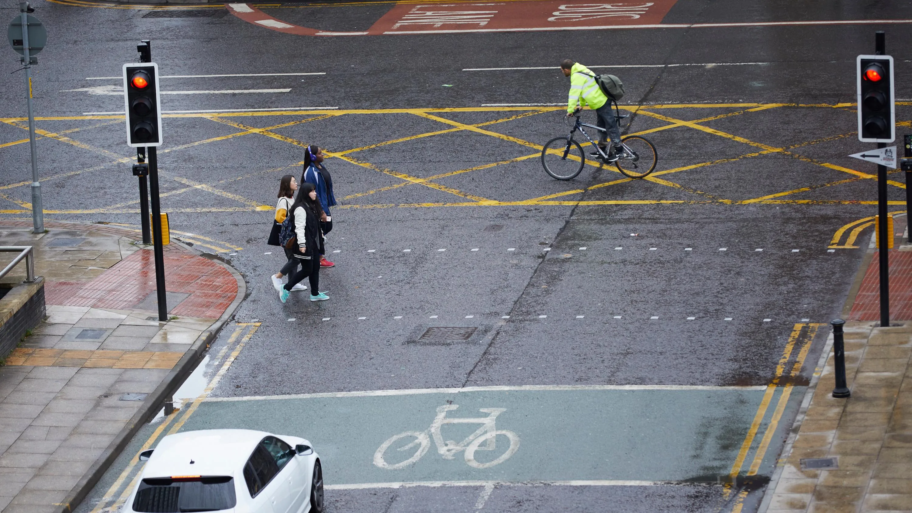
Active Streets tool helps local authorities locate safer walking and cycling spaces
In response to the government’s Emergency Active Travel Fund (EATF), OS Partner, Road Safety Analysis and the Agilysis team used OS MasterMap Highways combined with their own data, to create a tool enabling local authorities to assess their active travel network.
The EATF is providin...
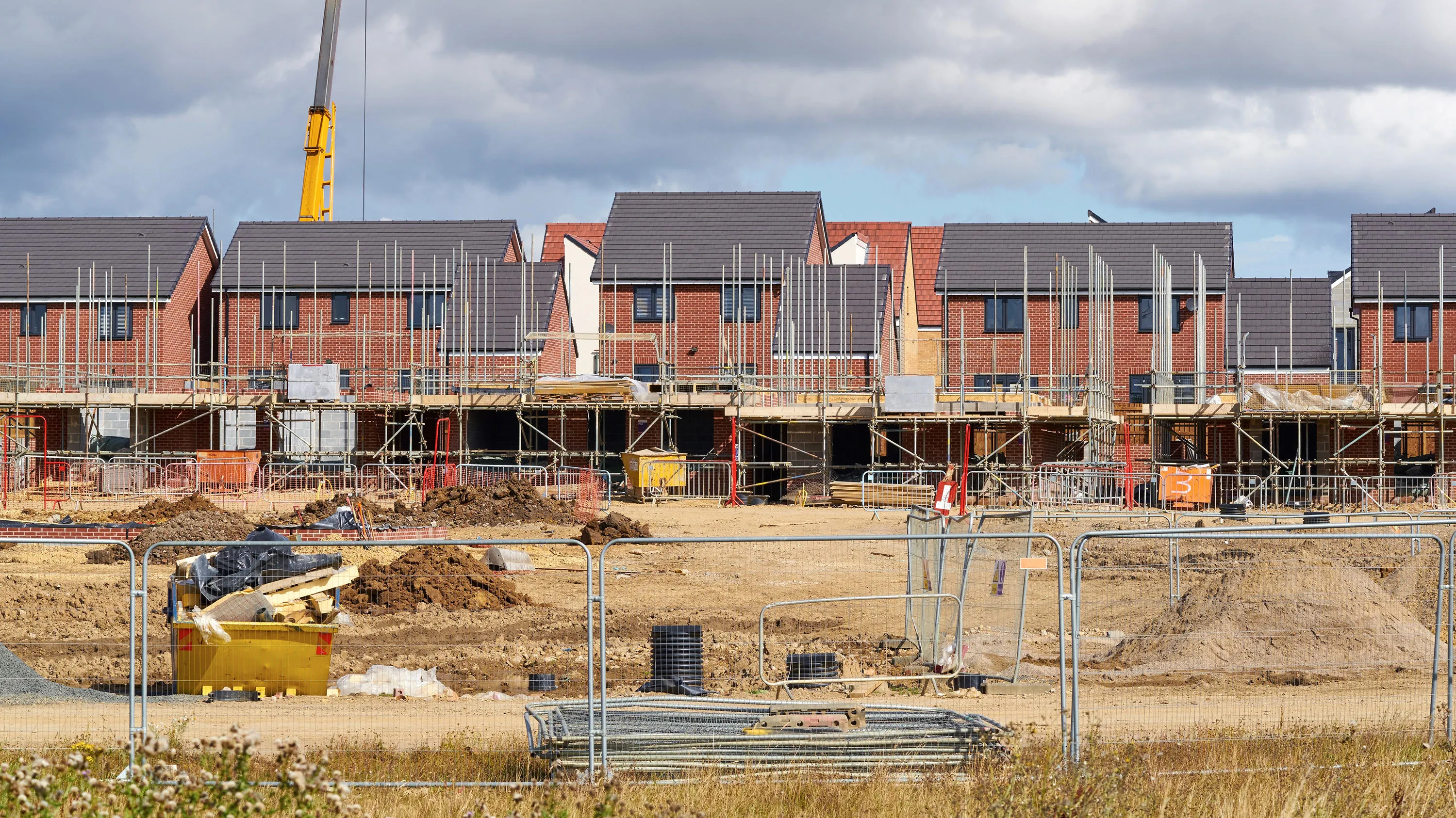
Using GIS to plan for housing growth
Ordnance Survey (OS) mapping enabled a local council to build an accurate picture of sites, which could be redeveloped for housing.
Broxtowe Borough Council used OS MasterMap to overlay relevant data and build a detailed and precise picture of local authority sites with potential for housi...

Managing Chesham cemetery with Ordnance Survey partner solutions
Chesham Town Council identified potential new income worth £12,000 by better managing its local cemetery with OS MasterMap.
Using Ordnance Survey’s highly detailed, large-scale mapping, via Pear Technology’s cemetery management system, Chesham Town Council can record plot...

GIS improves Wiltshire flood management
Combining Dauntsey Parish local knowledge with Ordnance Survey (OS) digital maps to undertake a professional analysis of local flood impacts and risks.
- Dauntsey in north Wiltshire has experienced serious flooding, affecting as many as 44 homes.
- Using Geographic Information S

Digital mapping helps Ash Parish to manage assets
Creating a single portal to meet Ash Parish Council’s local mapping needs.
Ash Parish in Surrey is one of the most heavily populated rural parishes within the Borough of Guilford. The parish is located in the extreme west of the borough and covers four square miles, extending north t...
You have viewed 6 of 6 case studies