Discover how Ordnance Survey data is driving more efficient decisions in organisations like yours.
Case Studies
Filters (1)
Showing 21 results
Page 1
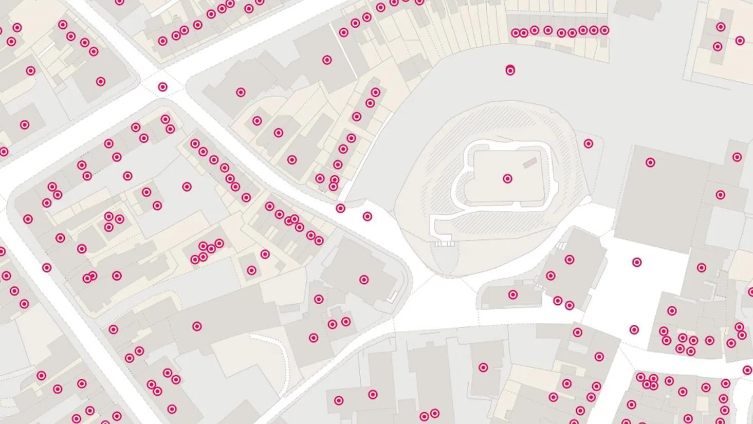
Proactive customer service with quality addressing data
Ordnance Survey helped to enable a master source of address information to be collated into a central hub that Scottish Water, their partners, and agencies, can use to seamlessly manage the lifecycle of an address.
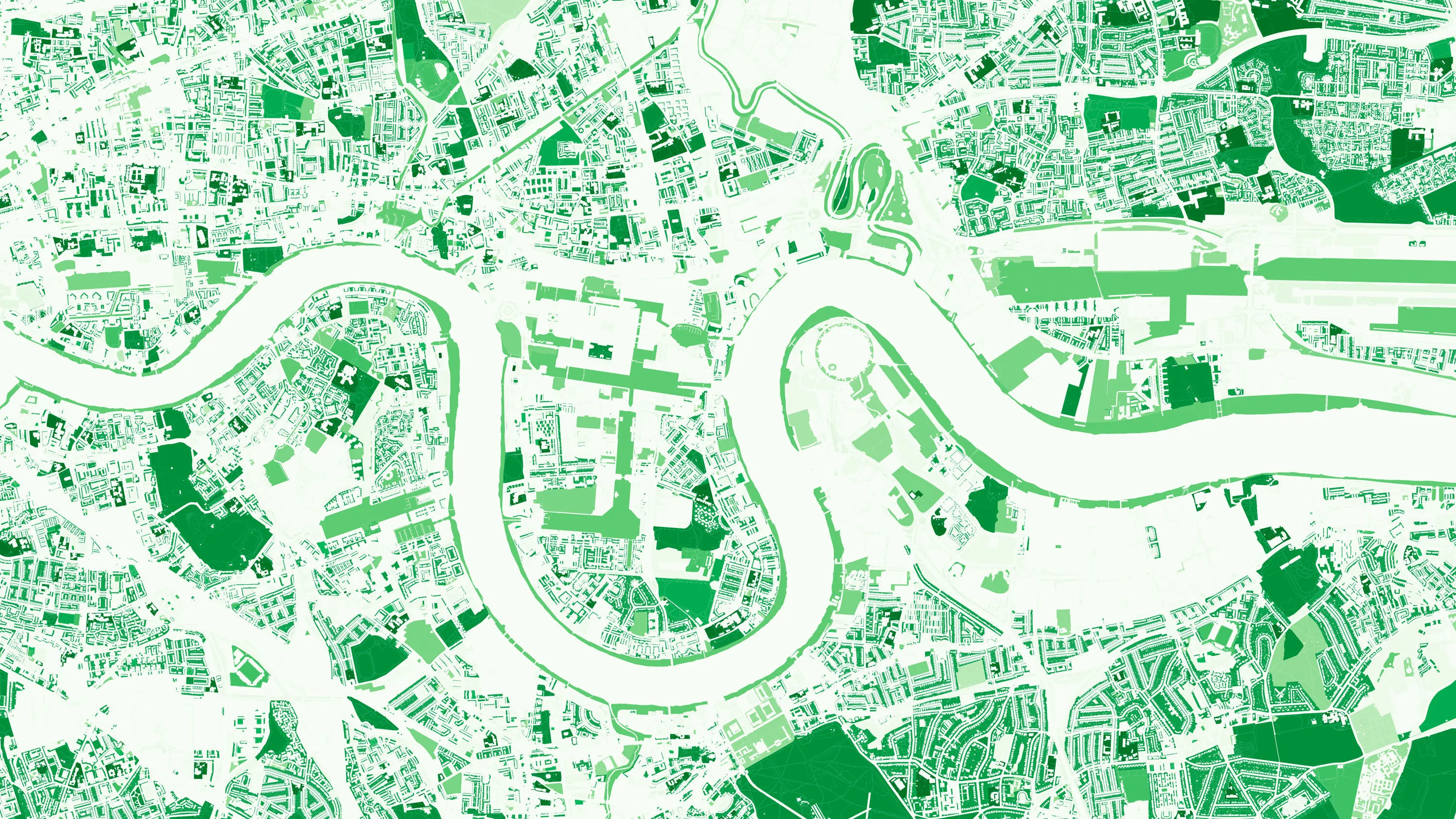
How location data helped the Department for Levelling Up Housing and Communities create new urban green spaces
The importance of access to green outdoor spaces in relation to health and wellbeing is clear. However, deprived areas are less likely to have access to green space and gardens.
In 2021 the Government allocated £9 million of funding to a ‘Levelling Up Parks Fund’ to help...

Using location data to model care home provision
Ordnance Survey and DHSC worked together to develop a tool to calculate the distance from care homes to population centres, using open-source coding tools.

DECC predict smart meter network coverage
This case study describes how Department of Energy and Climate Change (DECC) worked with Ordnance Survey (OS) as part of its Smart Meter 868MHz HAN trial to predict the number of premises at which a 868MHz HAN solution would work.
Through this OS supplied a tabular, spatially-derived datas...

Greener travel? e-scooters
Transport for London (TfL) have experimented with an e-scooter rental trial, to better understand the environmental outcomes of alternative transport.
Data was collected to assess the results of the trial and help inform future policy.

HM Land Registry base title plans on Ordnance Survey data
HM Land Registry safeguards land and property ownership valued at £7 trillion. The Land Register contains more than 25 million titles, showing evidence of ownership for more than 87% of the land mass of England and Wales.
Ordnance Survey’s large-scale data is vital to the land...
Department for Transport informing electric vehicle infrastructure planning
The Office for Zero Emission Vehicles (OZEV) with the Environment Statistics (ES) team at the Department for Transport (DfT) are currently planning the future provision across the UK of electric vehicle (EV) charge points, as part of the commitment by Government to reduce emissions by 2050.
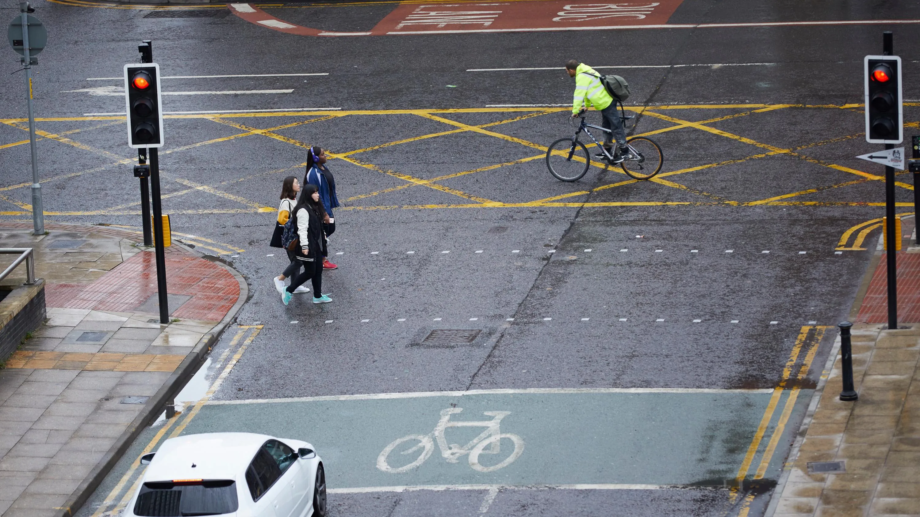
Active Streets tool helps local authorities locate safer walking and cycling spaces
In response to the government’s Emergency Active Travel Fund (EATF), OS Partner, Road Safety Analysis and the Agilysis team used OS MasterMap Highways combined with their own data, to create a tool enabling local authorities to assess their active travel network.
The EATF is providin...

Supporting innovation with geospatial data
Since the turn of the millennium Ordnance Survey recognised that almost all new and emerging technologies, and the products and services derived from these, require location data to function at their best. Ordnance Survey also recognised that the data our customers needed, and how and when they w...
You have viewed 9 of 21 case studies