Discover how Ordnance Survey data is driving more efficient decisions in organisations like yours.
Case Studies
Filters (1)
Showing 5 results
Page 1

Protecting Hampshire’s nature - Nitrate neutrality in the Solent
Natural England, the agency responsible for helping protect England’s natural environment, have announced that all new planning proposals covering Hampshire’s Solent waterways and wetlands, must be “nitrate neutral”.
Nitrate pollution, often caused by chemical ferti...

Complex land use decisions simplified by The Land App
Tim Hopkin comes from three generations of farmers, and is revolutionising the way complex land use decisions are made, through the creation of The Land App.
The Land App is an admin tool for the British countryside, available for use by the nation’s landowners, land agents and manag...
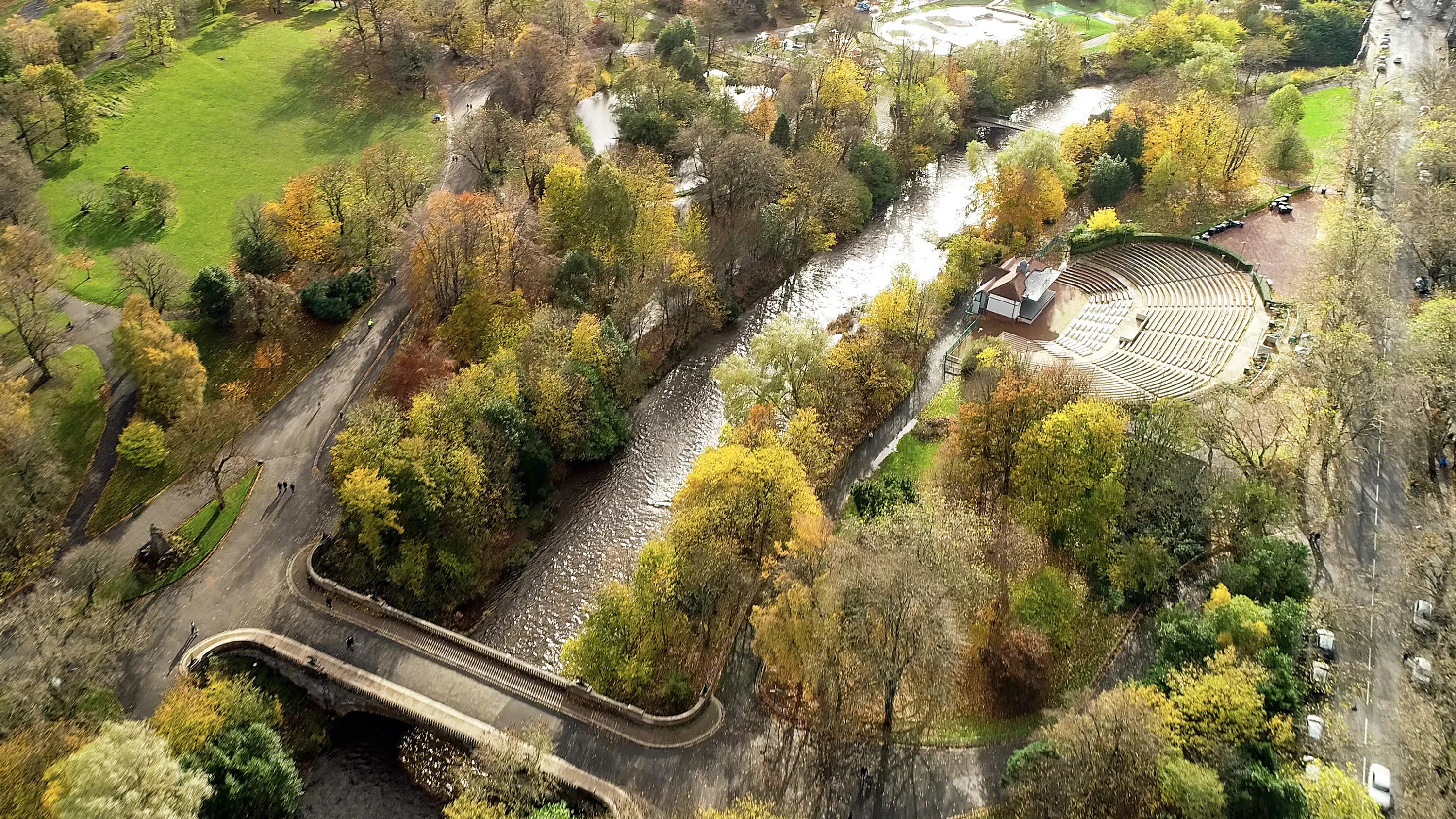
Greenspaces for green energy
Greenspace is the urban ecosystem – protecting our biodiversity, our physical and our mental health.
Greenspaces are also, according to Scotland’s parks and greenspace charity, greenspace scotland, a potential source of local green energy.
ParkPower is a Scotland-wide pr...

Helping to safeguard moorland life
Aiding the planning of land management and restoration in conservation areas with a Land Cover Map.
The South Pennine Moors Special Area of Conservation covers around 650km² of northern England. Since 2003, the Moors for the Future Partnership (MFFP) has been working to reverse more t...

GIS helps Teignbridge Council cut costs
By automating their Local Land Charges search process using GIS, Teignbridge district council were able to cut costs by £60,000.
Prior to 2011, Teignbridge District Council was required to carry out Local Land Charge searches for solicitors on behalf of potential home buyers, but the...
You have viewed 5 of 5 case studies