Discover how Ordnance Survey data is driving more efficient decisions in organisations like yours.
Case Studies
Filters (1)
Showing 4 results
Page 1
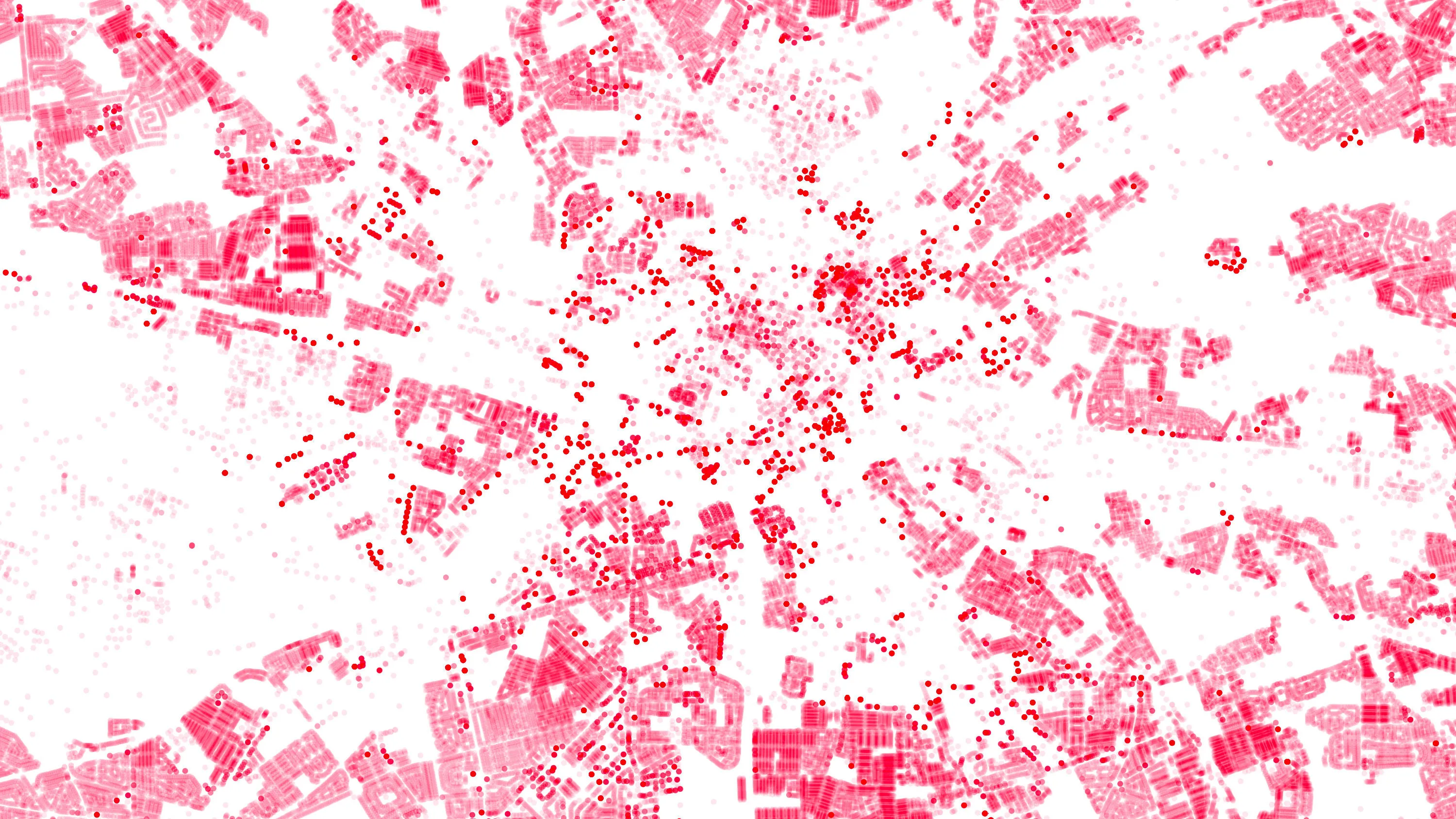
OS Data Hub used by Balkerne to offer risk intelligence platform
Balkerne has built a real-time risk intelligence platform to predict, prevent, and detect damage to property. Their digital platform, SmartResilience, integrates data using 35 different sources including location data from the OS Data Hub.
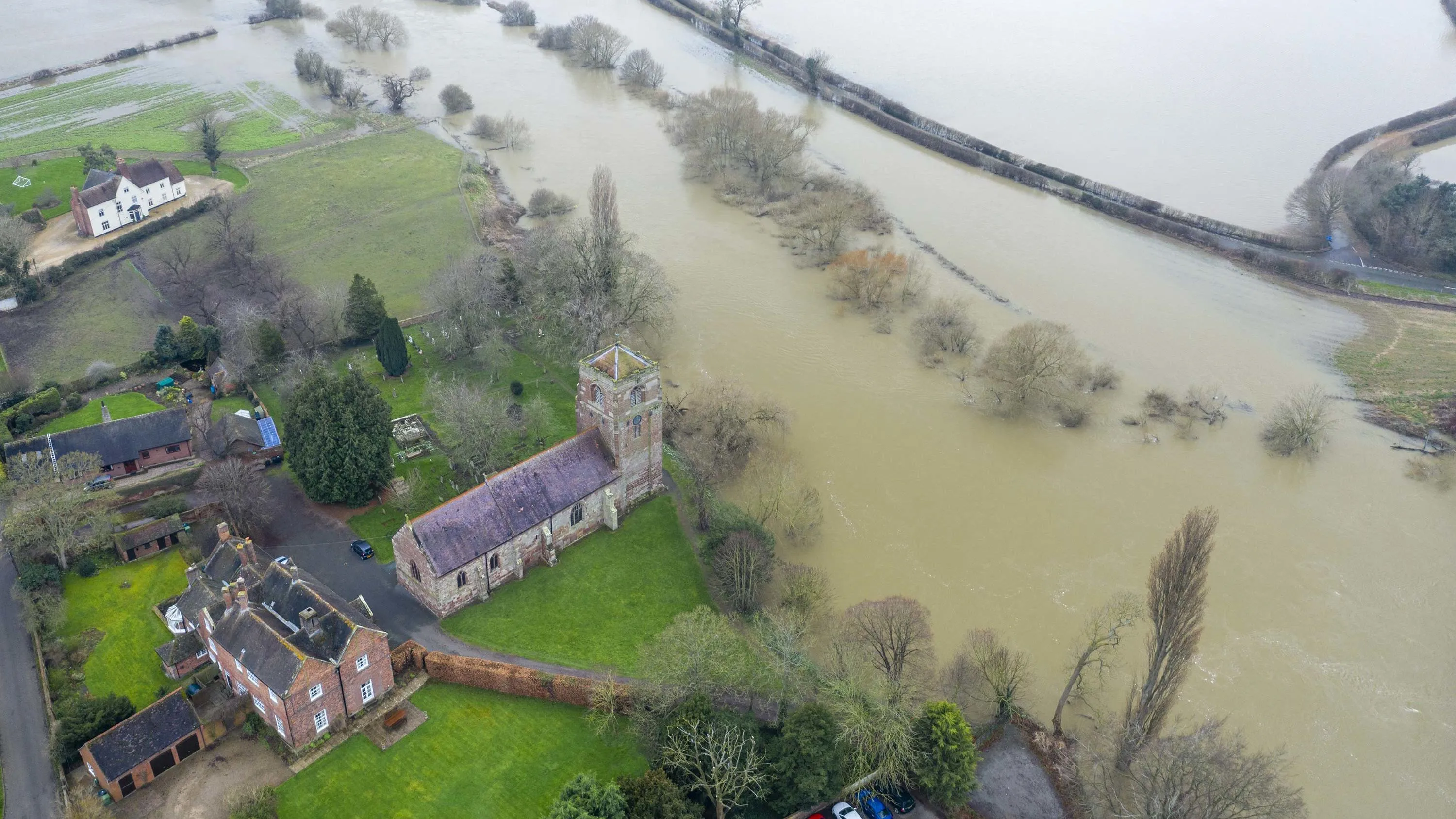
Richer data protecting people and the environment from flooding
The Environment Agency (EA) manages and mitigates flood risk throughout England, helping to reduce impacts of flooding.
The EA worked with Ordnance Survey (OS) to update and improve their existing property dataset – critical to the EA’s ability to assess flood risk and respond...

ESRI UK mapping app protects York from floods
York City Council’s flood team can now easily record, share and visualise gully information on any hand-held device, thanks to an ESRI UK app and detailed Ordnance Survey (OS) mapping. This case study explains how it was done.

GIS improves Wiltshire flood management
Combining Dauntsey Parish local knowledge with Ordnance Survey (OS) digital maps to undertake a professional analysis of local flood impacts and risks.
- Dauntsey in north Wiltshire has experienced serious flooding, affecting as many as 44 homes.
- Using Geographic Information S
You have viewed 4 of 4 case studies