Discover how Ordnance Survey data is driving more efficient decisions in organisations like yours.
Case Studies
Filters (1)
Showing 1 results
Page 1
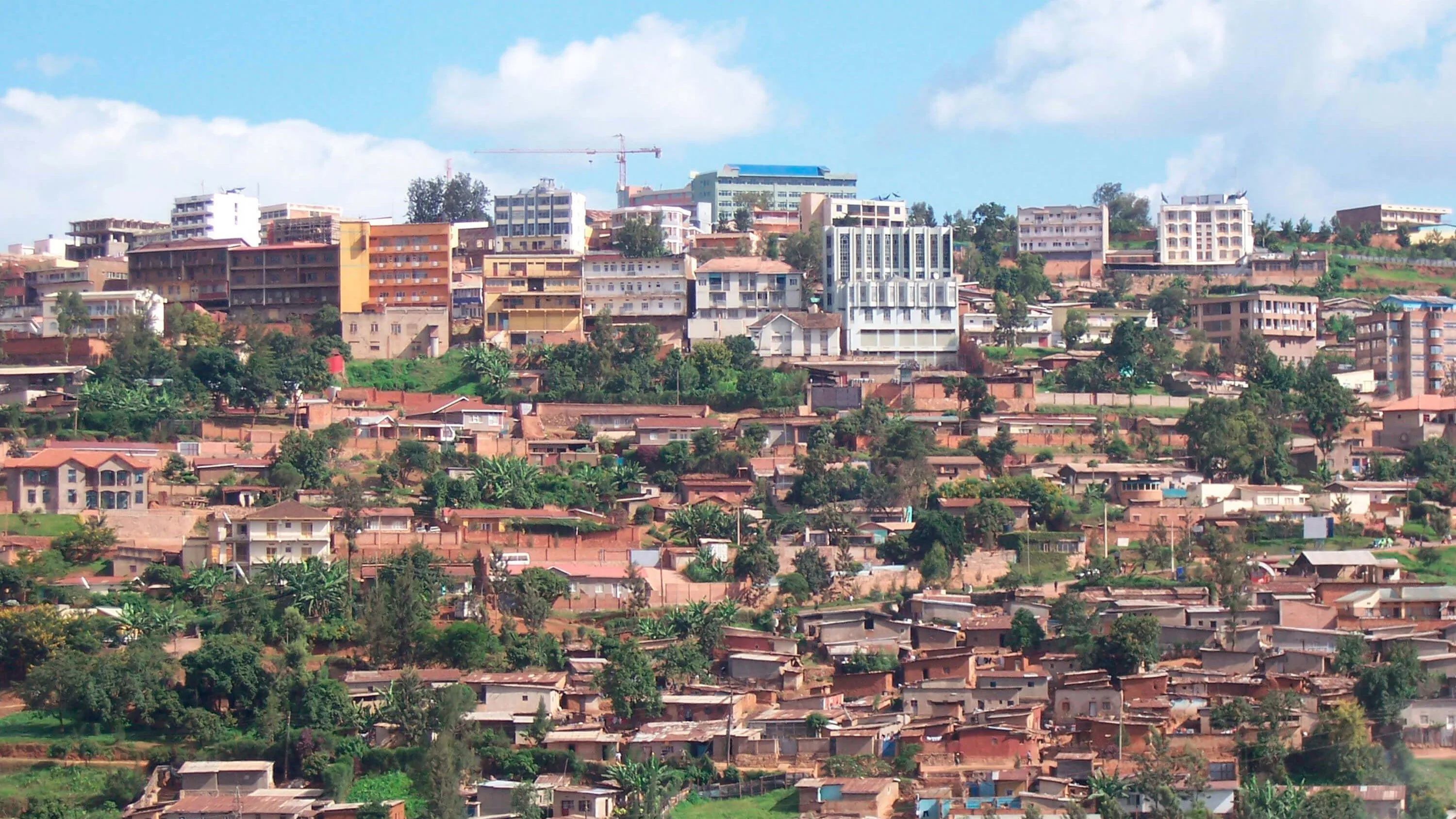
Ordnance Survey modernising Rwanda's mapping operations
Rwanda Natural Resources Authority (RNRA) has a national-level responsibility to provide geospatial information including topographic, thematic and geological maps.
Rwanda conducted Land Tenure Regularisation Project (LTRP) and successfully registered all its 10.3 million land parcels for...
You have viewed 1 of 1 case studies