Blog
Read location data and geography related stories and commentary
Filters (1)
Page 1
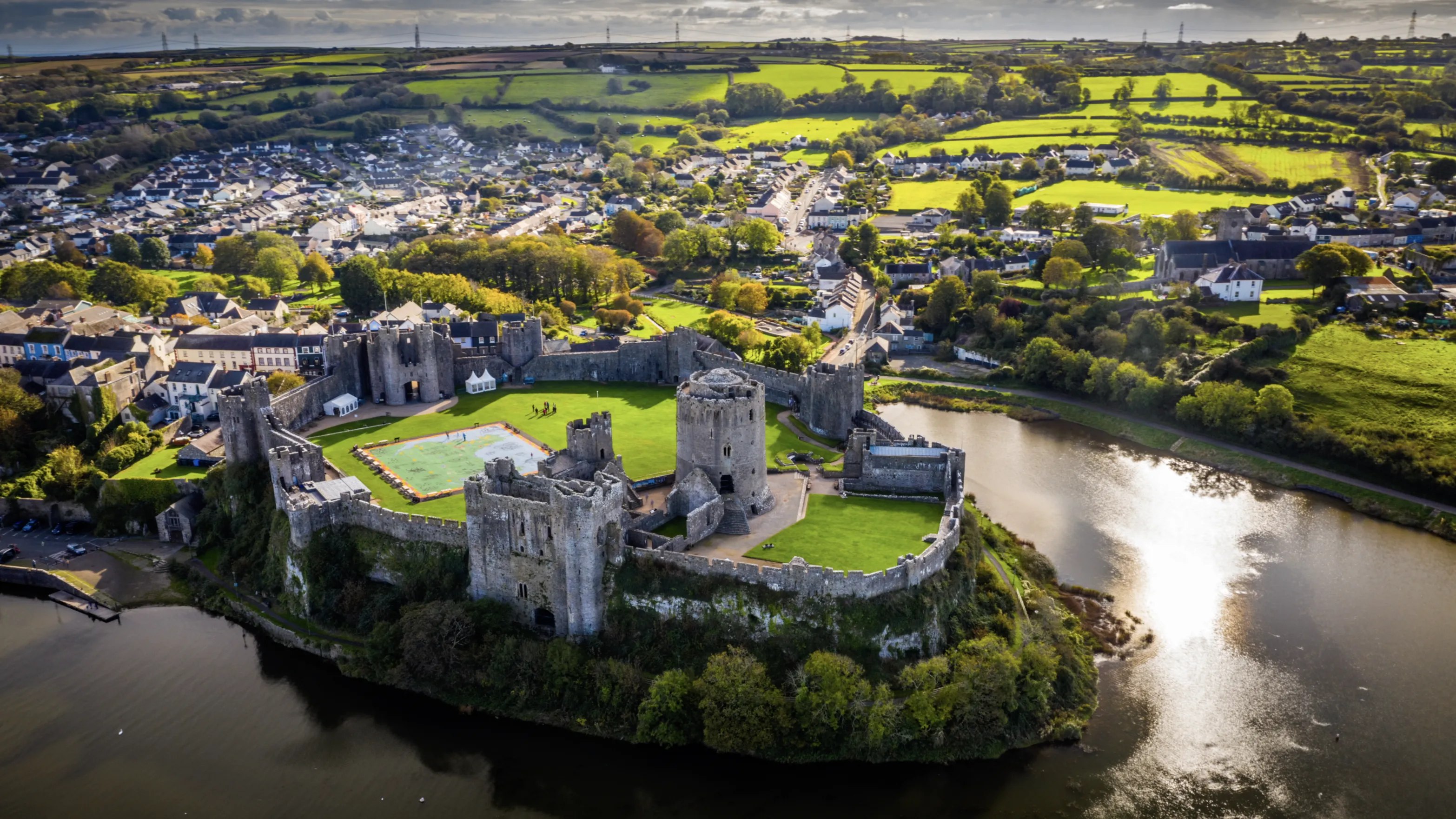
How Ordnance Survey is making an impact in Wales
Geospatial data from OS is a critical tool for the Welsh Government, helping teams deliver a range of improved services in health, transport and more
- Blog
Ordnance Survey's favourite maps of 2022
Our GeoDataViz team has been looking back at the maps and data visualisations that caught their eye in 2022.
- Blog
The Monarchy’s legacy on place names in Great Britain
A look into the monarchy's legacy on the names of roads, places and pubs in Great Britain.
- Blog
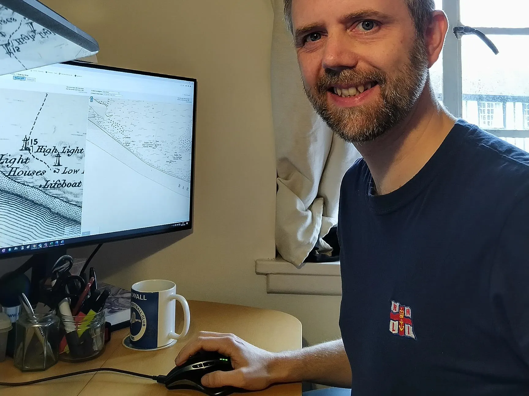
Volunteering with RNLI
Staff at Ordnance Survey can take a Volunteer Day; Lee Harvey, Surveyor, shares his experience volunteering for the RNLI.
- Blog
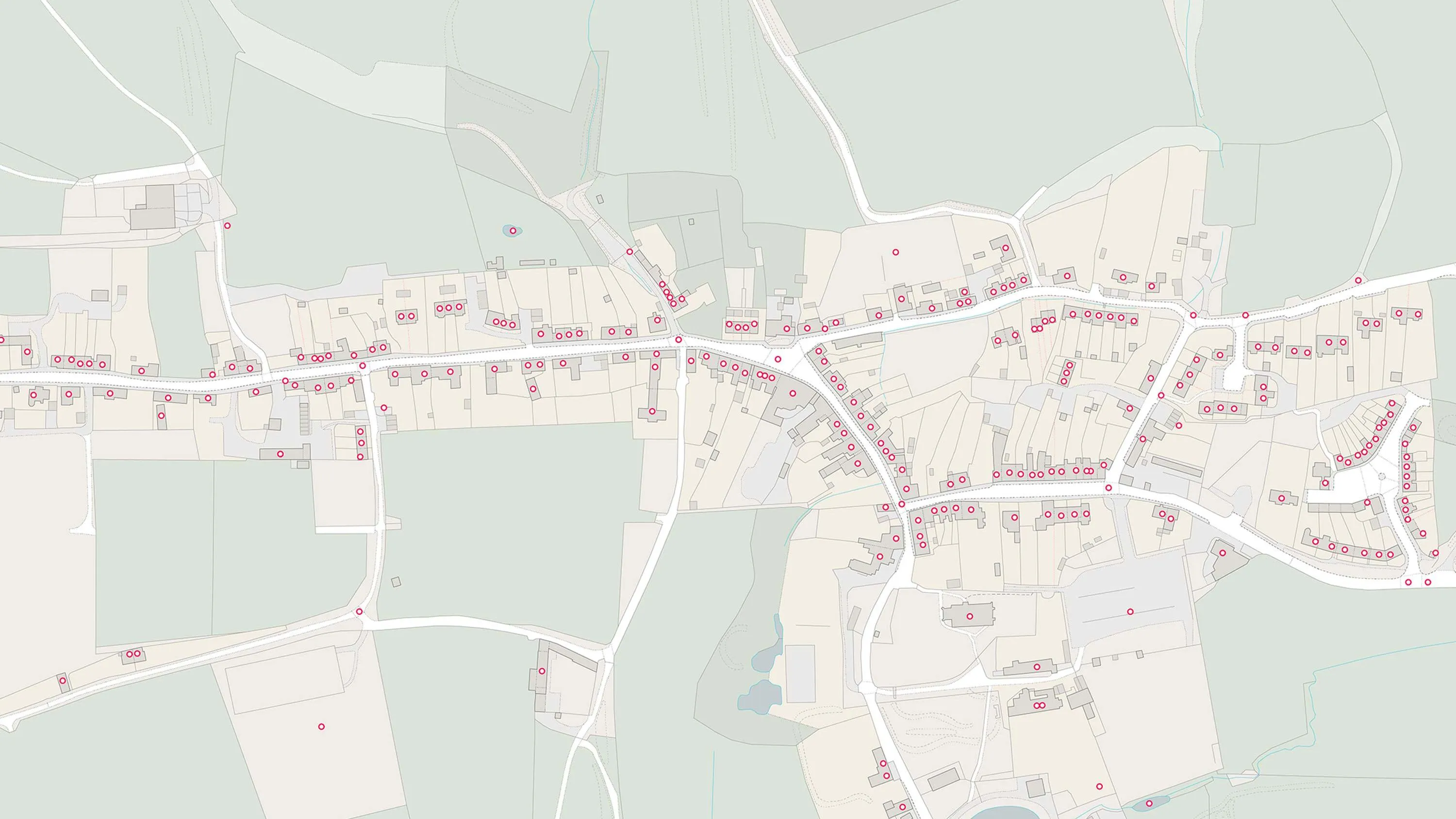
UPRNs and the property lifecycle
UPRNs can improve address data management for addressable locations, throughout every stage of the property lifecycle.
- Blog
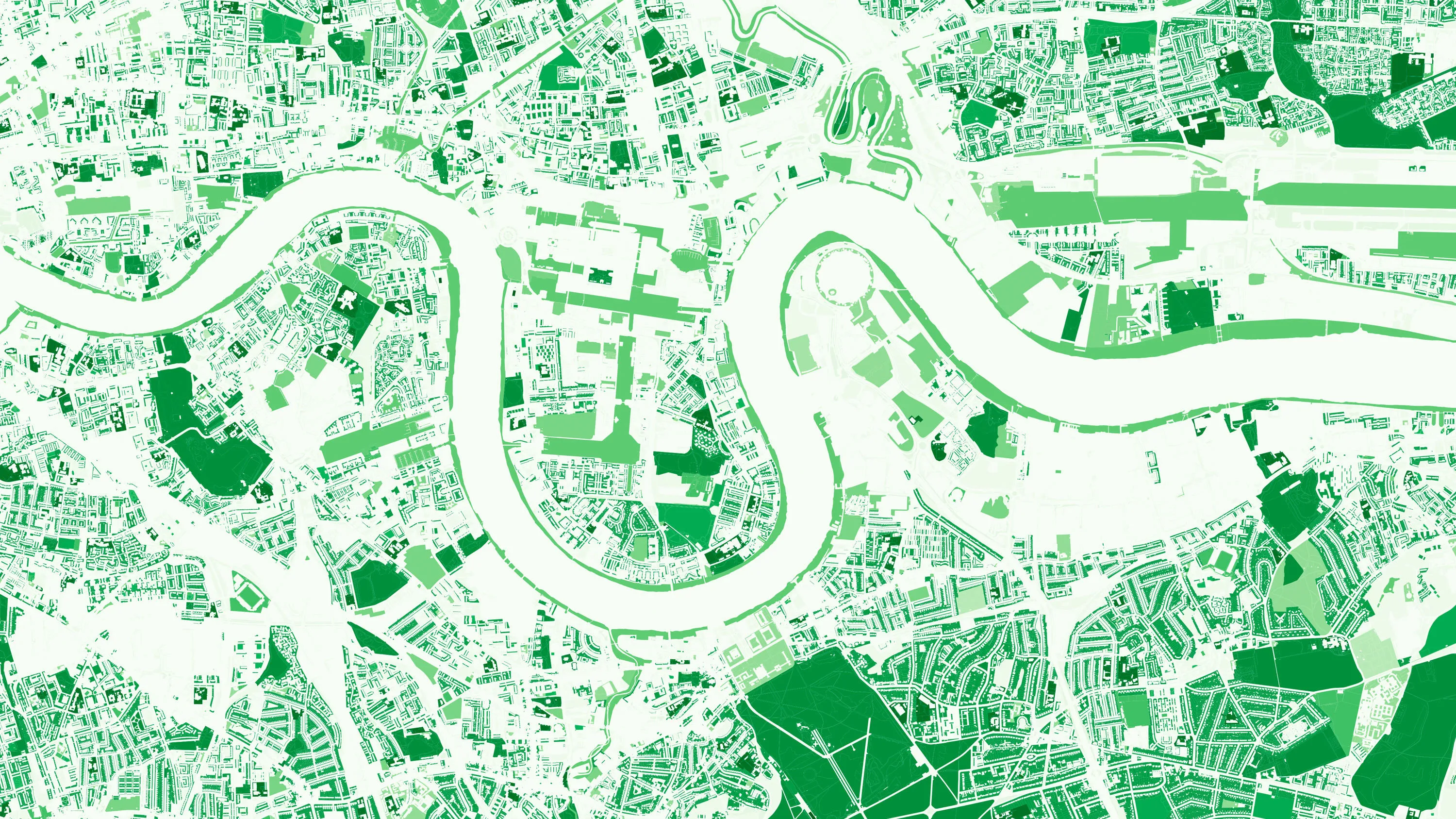
Analysing access to greenspaces during a pandemic
Office for National Statistics report shows that one in eight GB households has no access to a private or shared garden during the Covid-19 lockdown.
- Blog
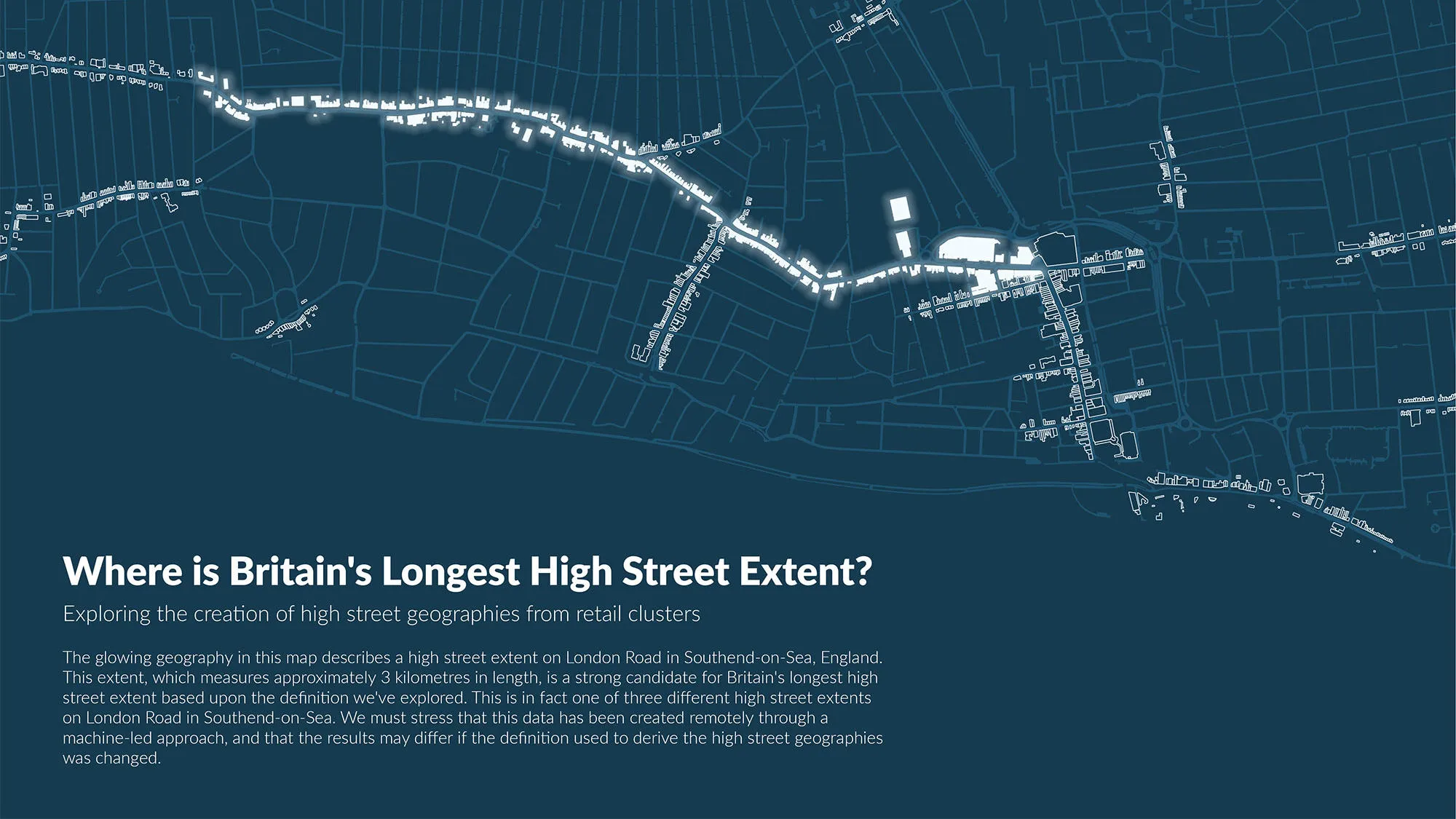
OS and ONS release report on the geography of Britain’s high streets
We’ve been working with the Office for National Statistics (ONS) to define and analyse Britain’s high streets.
- Blog
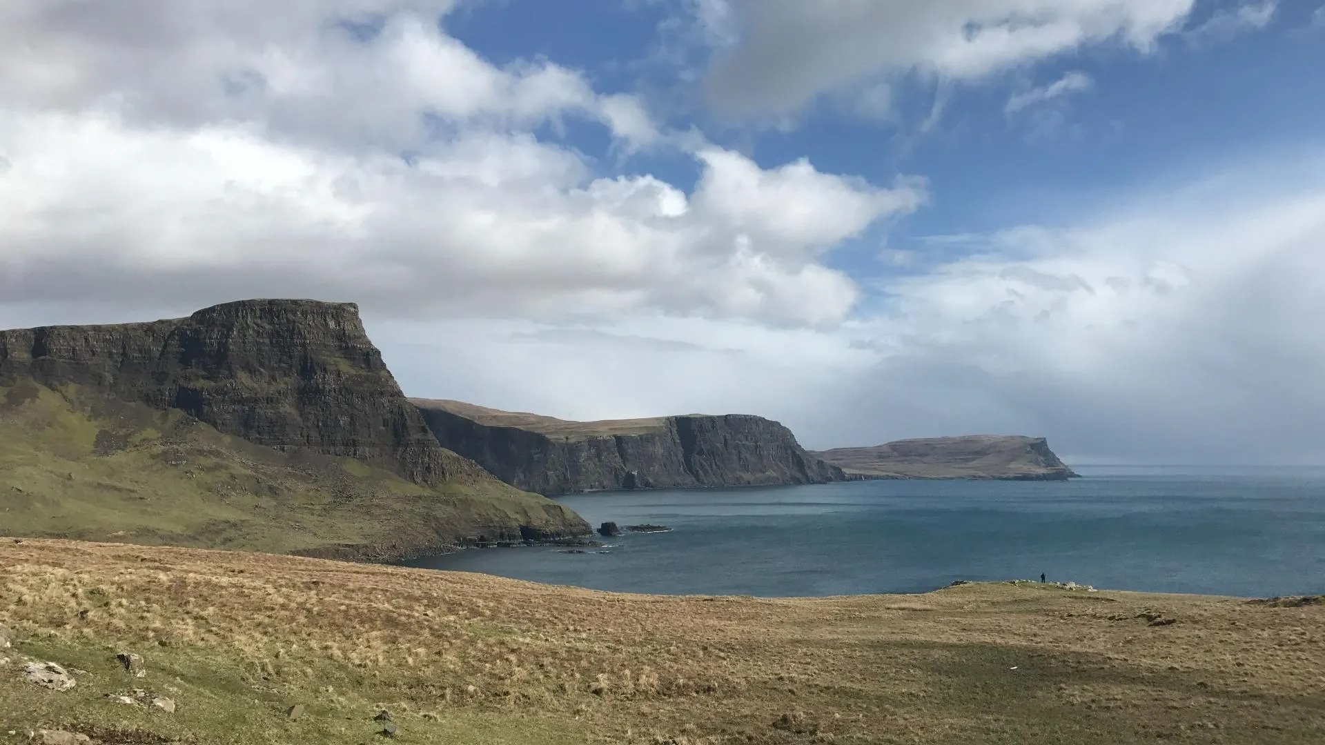
OS data being used to predict coastal change in Scotland
Whether it’s investment in coastal defences, cliff falls or erosion impacting landowners, coastal change often hits the news.
- Blog
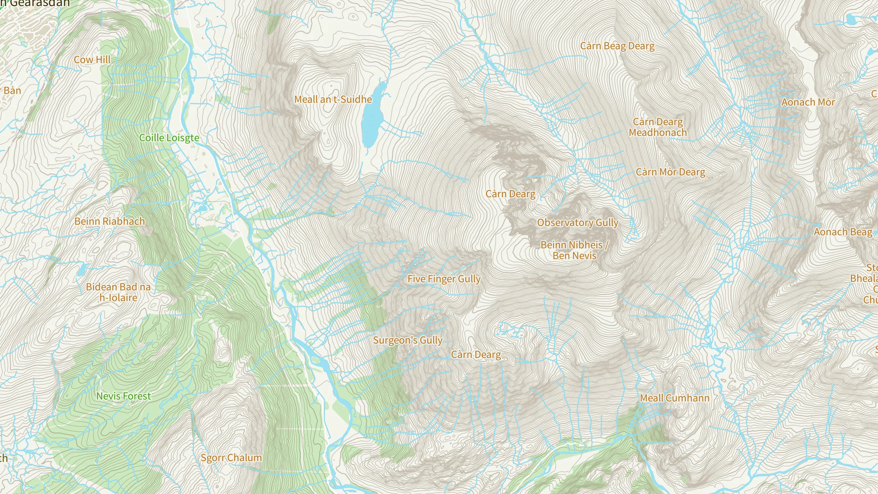
Surveying Ben Nevis – The 49ers
It’s close to 170 years since OS officially confirmed Ben Nevis as Britain’s highest mountain.
- Blog